Free Trade Zone · Philippines
Hijo Tourism Economic Zone Active
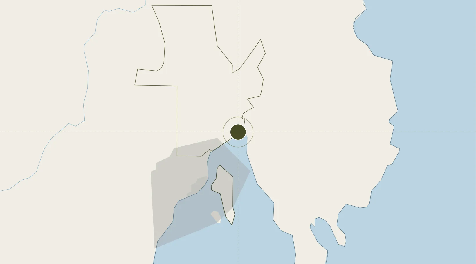
7.3613°, 125.8073°
350 ha
Zone area
38.9 km
Nearest port
31.7 km
Nearest airport
Gateway access
Zone profile
Zone type
Free Trade Zone
Region
Davao del Norte
Status
Active
Management
Private
Operator
Hijo Resources Corporation
Legal framework
Special Economic Zone Act (Republic Act No. 7916) (as amended by Republic Act No. 8748)
Location
Nearby Logistics Neighbours
Ports
- 1Davao39 km
- 2Mati64 km
- 3Mangagoy112 km
- 4Hinatuan126 km
- 5General Santos155 km
Airports
- 1Francisco Bangoy International Airport32 km
- 2Mati National Airport69 km
- 3Bislig Airport109 km
- 4Central Mindanao Airport110 km
- 5Rajah Buayan Air Base153 km
Cities
- 1DICT / SVT15 km
- 2Panabo15 km
- 3Davao, Mindanao28 km
- 4Astorga66 km
- 5Boston/Davao82 km
DatabookThe Record of Consolidated Knowledge
Philippines beyond logistics?