Specialized Zone · Philippines

A57 Techno Park Under Development
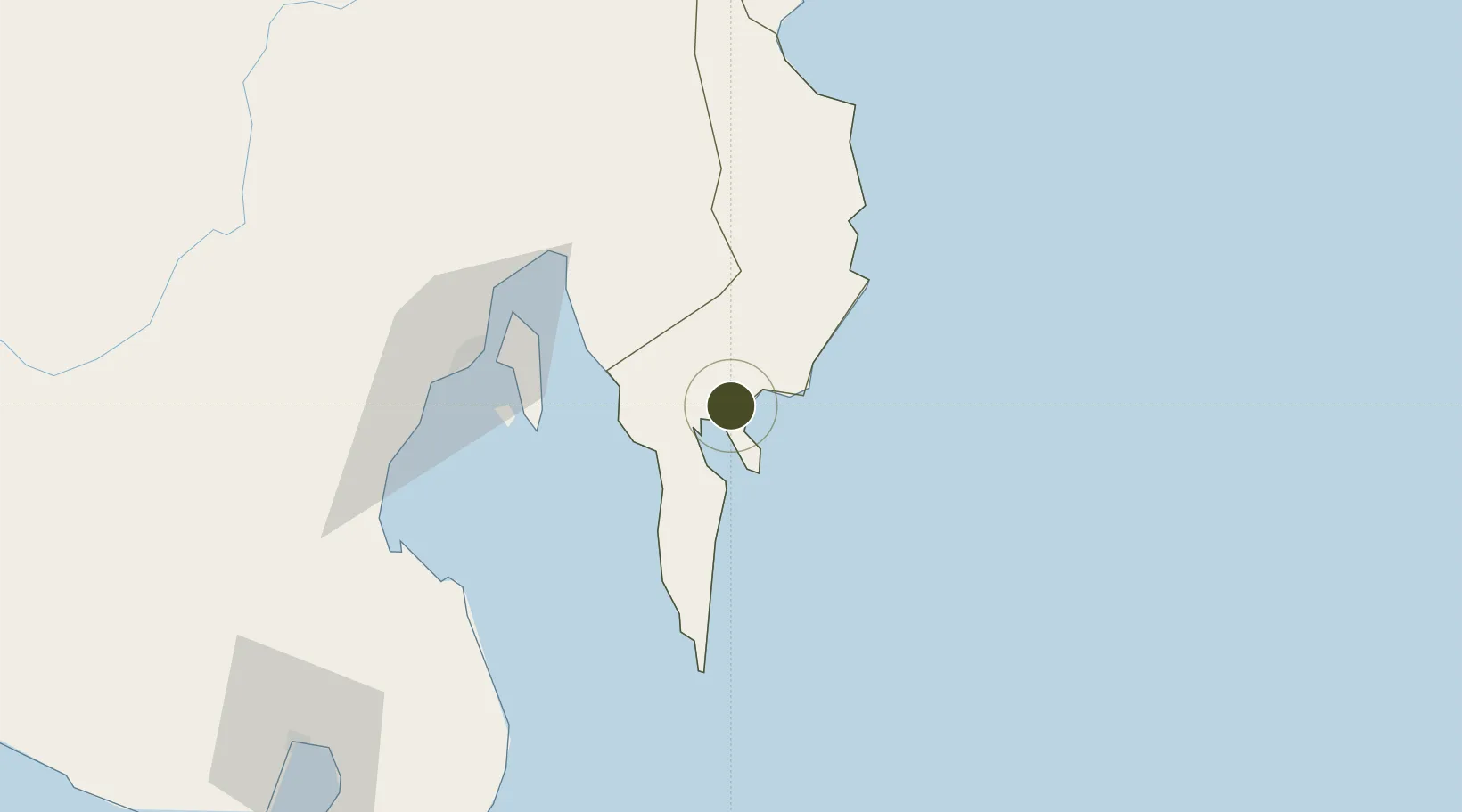
6.9577°, 126.2683°
6 ha
Zone area
5.8 km
Nearest port
1.1 km
Nearest airport

Gateway access

Nearest neighbours — logibook spatial index (haversine) over the source coordinates

Zone profile

Zone type
Specialized Zone
Open Zone Map
Specialization
IT
Open Zone Map
Region
Davao Oriental
Open Zone Map
Status
Under Development
Open Zone Map
Management
Private
Open Zone Map
Operator
Almario 57 Corporation
Open Zone Map
Legal framework
Special Economic Zone Act (Republic Act No. 7916) (as amended by Republic Act No. 8748)
Open Zone Map

Location

Location of ozm-3802
Natural Earth 10m (public domain) · Davao Oriental · ozm-3802 · 6.96, 126.27GoogleOSMYandex

Nearby Logistics Neighbours

Ports
  1. 1Mati6 km
  2. 2Davao73 km
  3. 3Mangagoy142 km
  4. 4General Santos152 km
  5. 5Hinatuan157 km
Nearest neighbours — logibook spatial index (haversine) over the source coordinates
Airports
  1. 1Mati National Airport1 km
  2. 2Francisco Bangoy International Airport71 km
  3. 3Bislig Airport138 km
  4. 4Rajah Buayan Air Base148 km
  5. 5Central Mindanao Airport148 km
Nearest neighbours — logibook spatial index (haversine) over the source coordinates
Cities
  1. 1Davao, Mindanao71 km
  2. 2DICT / SVT72 km
  3. 3Panabo75 km
  4. 4Astorga91 km
  5. 5Boston/Davao102 km
Nearest neighbours — logibook spatial index (haversine) over the source coordinates
Trade Zones
  1. 1Samal Casino Resort58 km
  2. 2The Kopiat Island Resort Project60 km
  3. 3Hijo Tourism Economic Zone68 km
  4. 4Cocochem Agro-Industrial Park Inc. (CAIP)70 km
  5. 5The New Lanang Project71 km
Nearest neighbours — logibook spatial index (haversine) over the source coordinates
DatabookThe Record of Consolidated Knowledge
Philippines beyond logistics?
Browse databook

All Sources

Trade ZonesOpen Zone Map
CC BY
Portsthe NGA World Port Index
Public domain (US gov)
AirportsOurAirports
Public domain
LocationsUN/LOCODE
UN/LOCODE — free
← Philippines trade zones