Specialized Zone · Philippines
The Kopiat Island Resort Project Active
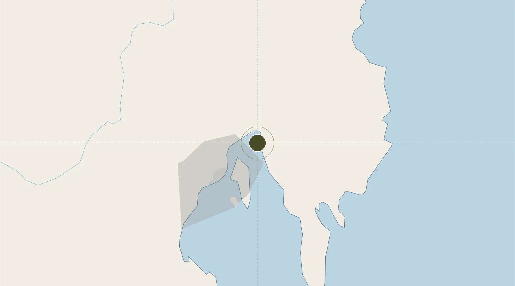
7.2796°, 125.8330°
37 ha
Zone area
33.6 km
Nearest port
26.8 km
Nearest airport
Gateway access
Zone profile
Zone type
Specialized Zone
Specialization
Tourism
Region
Davao del Norte
Status
Active
Management
Public-Private Partnership
Operator
Lapanday Properties Philippines, Inc.
Legal framework
Special Economic Zone Act (Republic Act No. 7916) (as amended by Republic Act No. 8748)
Location
Nearby Logistics Neighbours
Ports
- 1Davao34 km
- 2Mati56 km
- 3Mangagoy119 km
- 4Hinatuan133 km
- 5General Santos148 km
Airports
- 1Francisco Bangoy International Airport27 km
- 2Mati National Airport61 km
- 3Central Mindanao Airport108 km
- 4Bislig Airport115 km
- 5Rajah Buayan Air Base146 km
Cities
- 1DICT / SVT15 km
- 2Panabo17 km
- 3Davao, Mindanao23 km
- 4Astorga61 km
- 5Boston/Davao87 km
DatabookThe Record of Consolidated Knowledge
Philippines beyond logistics?