Export Processing Zone · Philippines
ANFLO Special Economic Zone Active
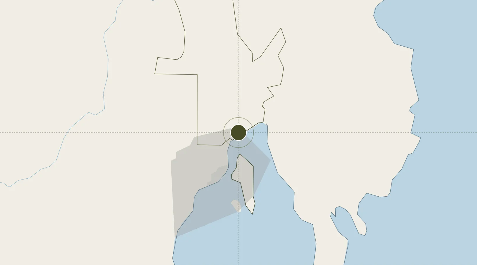
7.3027°, 125.7078°
52 ha
Zone area
28.1 km
Nearest port
20.9 km
Nearest airport
Gateway access
Zone profile
Zone type
Export Processing Zone
Region
Davao del Norte
Status
Active
Management
Private
Operator
ANFLO Industrial Estate Corporation
Legal framework
Special Economic Zone Act (Republic Act No. 7916)
(as amended by Republic Act No. 8748)
Location
Nearby Logistics Neighbours
Ports
- 1Davao28 km
- 2Mati69 km
- 3Mangagoy123 km
- 4Hinatuan137 km
- 5General Santos144 km
Airports
- 1Francisco Bangoy International Airport21 km
- 2Mati National Airport74 km
- 3Central Mindanao Airport97 km
- 4Bislig Airport120 km
- 5Rajah Buayan Air Base143 km
Cities
- 1DICT / SVT2 km
- 2Panabo3 km
- 3Davao, Mindanao17 km
- 4Astorga55 km
- 5Boston/Davao95 km
DatabookThe Record of Consolidated Knowledge
Philippines beyond logistics?