Specialized Zone · Philippines
TESDA XI Information Technology Center Active
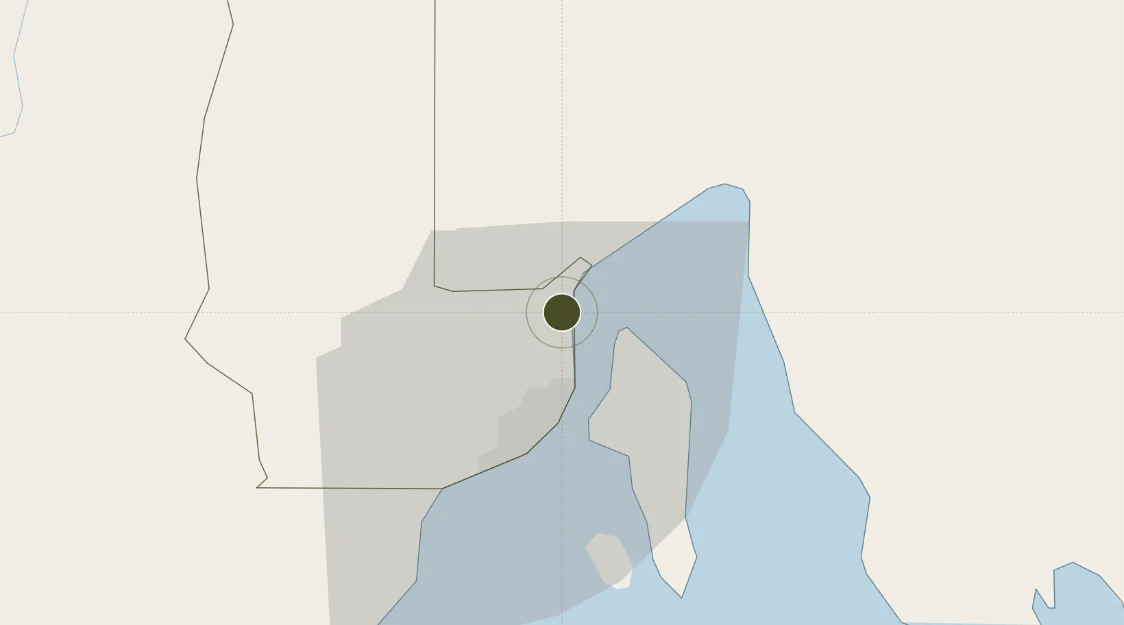
7.2126°, 125.6435°
1 ha
Zone area
16.5 km
Nearest port
9.7 km
Nearest airport
Gateway access
Zone profile
Zone type
Specialized Zone
Specialization
IT
Region
Davao
Status
Active
Management
Public
Operator
Technical Education and Skills Development Authority, Regional Office XI
Legal framework
Special Economic Zone Act (Republic Act No. 7916) (as amended by Republic Act No. 8748)
Location
Nearby Logistics Neighbours
Ports
- 1Davao17 km
- 2Mati70 km
- 3General Santos132 km
- 4Mangagoy136 km
- 5Hinatuan149 km
Airports
- 1Francisco Bangoy International Airport10 km
- 2Mati National Airport76 km
- 3Central Mindanao Airport86 km
- 4Rajah Buayan Air Base131 km
- 5Bislig Airport132 km
Cities
- 1Davao, Mindanao6 km
- 2DICT / SVT10 km
- 3Panabo11 km
- 4Astorga42 km
- 5Boston/Davao107 km
DatabookThe Record of Consolidated Knowledge
Philippines beyond logistics?