UN/LOCODE hub · Philippines
PHBLC

Balabac, Palawan

7.9667°, 117.0500°
2
Transport functions

Transport Functions

Port
Road
UN/LOCODE

Hub Profile

Region
PLW
GeoNames

Location

Location of PHBLC
Natural Earth 10m (public domain) · PLW · PHBLC · 7.97, 117.05GoogleOSMYandex

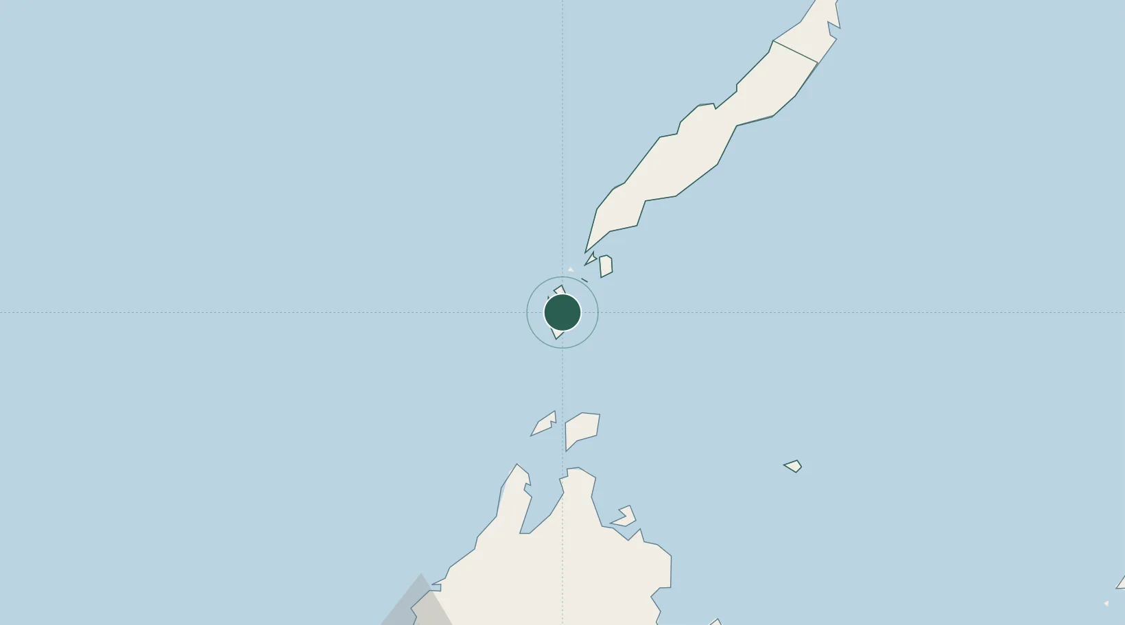
Nearby Logistics Neighbours

Cities
  1. 1Bangau120 km
  2. 2Brookes Point, Palawan124 km
  3. 3Jambongan, Sabah153 km
  4. 4Kota Marudu166 km
  5. 5Kota Belud, Sabah192 km
Nearest neighbours — logibook spatial index (haversine) over the source coordinates
Ports
  1. 1Kudat123 km
  2. 2Kota Kinabalu246 km
  3. 3Pelabuhan Sandakan265 km
  4. 4Puerto Princesa270 km
  5. 5Lahad Datu357 km
Nearest neighbours — logibook spatial index (haversine) over the source coordinates
Airports
  1. 1Kudat Airport118 km
  2. 2Kota Kinabalu International Airport252 km
  3. 3Sandakan Airport255 km
  4. 4Puerto Princesa International Airport / PAF Antonio Bautista Air Base273 km
  5. 5Tomanggong Airport336 km
Nearest neighbours — logibook spatial index (haversine) over the source coordinates
Trade Zones
  1. 1Rio Tuba Export Processing Zone77 km
  2. 2Brookes Point Agro-Industrial Economic Zone123 km
  3. 3Sabah Development Corridor250 km
  4. 4Eastville City Walk273 km
  5. 5Puerto Princesa Environmental Estate274 km
Nearest neighbours — logibook spatial index (haversine) over the source coordinates
DatabookThe Record of Consolidated Knowledge
Philippines beyond logistics?
Browse databook

All Sources

LocationsUN/LOCODE
UN/LOCODE — free
Portsthe NGA World Port Index
Public domain (US gov)
AirportsOurAirports
Public domain
Trade Zonesthe World Bank SEZ database
CC BY 4.0
Trade ZonesOpen Zone Map
CC BY
← Philippines locations