UN/LOCODE hub · Malaysia
MYBGU

Bangau

6.9500°, 116.7000°
1
Transport functions

Transport Functions

Port
UN/LOCODE

Hub Profile

Region
12
GeoNames

Location

Location of MYBGU
Natural Earth 10m (public domain) · 12 · MYBGU · 6.95, 116.70GoogleOSMYandex

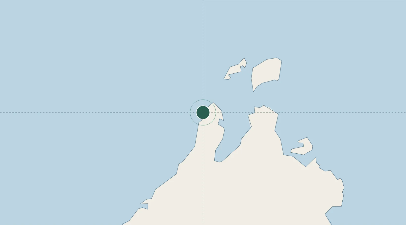
Nearby Logistics Neighbours

Cities
  1. 1Kota Marudu51 km
  2. 2Kota Belud, Sabah73 km
  3. 3Jambongan, Sabah94 km
  4. 4Kota Kinabalu, Sabah114 km
  5. 5Balabac, Palawan120 km
Nearest neighbours — logibook spatial index (haversine) over the source coordinates
Ports
  1. 1Kudat18 km
  2. 2Kota Kinabalu128 km
  3. 3Pelabuhan Sandakan200 km
  4. 4Muara Harbor279 km
  5. 5Lahad Datu280 km
Nearest neighbours — logibook spatial index (haversine) over the source coordinates
Airports
  1. 1Kudat Airport15 km
  2. 2Kota Kinabalu International Airport134 km
  3. 3Sandakan Airport190 km
  4. 4Labuan Airport244 km
  5. 5Lawas Airport274 km
Nearest neighbours — logibook spatial index (haversine) over the source coordinates
Trade Zones
  1. 1Sabah Development Corridor132 km
  2. 2Rio Tuba Export Processing Zone195 km
  3. 3Brookes Point Agro-Industrial Economic Zone238 km
  4. 4Labuan Offshore Financial Centre246 km
  5. 5Muara Export Zone279 km
Nearest neighbours — logibook spatial index (haversine) over the source coordinates
DatabookThe Record of Consolidated Knowledge
Malaysia beyond logistics?
Browse databook

All Sources

LocationsUN/LOCODE
UN/LOCODE — free
Portsthe NGA World Port Index
Public domain (US gov)
AirportsOurAirports
Public domain
Trade Zonesthe World Bank SEZ database
CC BY 4.0
Trade ZonesOpen Zone Map
CC BY
← Malaysia locations