Seaport · Philippines

Puerto PrincesaPHPPS
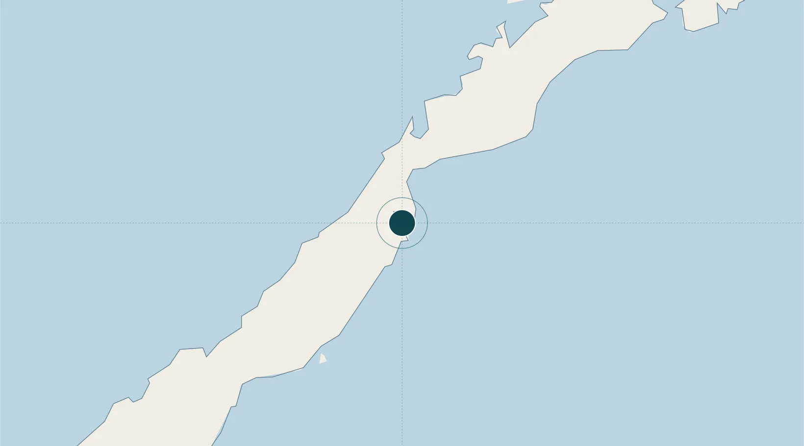
9.7333°, 118.7333°
23.2 m
Channel depth
9.5
Port liner connectivity

Channel & Berth Profile

SEA LEVEL (CD)CHANNEL BEDCargo pier · 7.9 mAnchorage · 17.1 mChannel · 23.2 m
NGA World Port Index

Pilotage, Tugs & Services

Pilotage compulsoryYES
Pilotage availableYES
Tug assistanceYES
Potable waterYES
MedicalYES
Garbage disposalYES
NGA World Port Index

Facilities & Capabilities

Container
Ro-Ro
Liquid bulk
Dry bulk
Oil terminal
Break bulk
Dry dock
RepairsNO
BunkeringYES
Rail linkYES
Dangerous cargo
ISPS security
NGA World Port Index

Harbour Specifications

Harbour size
Small
NGA World Port Index
Harbour type
Coastal (Natural)
NGA World Port Index
Shelter
Good
NGA World Port Index
Water body
Sulu Sea; North Pacific Ocean
NGA World Port Index
Tidal range
1 m
NGA World Port Index
Pilotage
Yes
NGA World Port Index

Liner Connectivity

9.5
PLSCI

Port Liner Shipping Connectivity Index for Puerto Princesa, as published by UNCTAD for the latest available quarter. Higher values indicate stronger scheduled liner-shipping integration.

Shown relative to the highest per-port PLSCI in the dataset (1,657.9).

UNCTAD · Port Liner Shipping Connectivity Index

Location

Location of PHPPS
Natural Earth 10m (public domain) · Puerto Princesa · PHPPS · 9.73, 118.73GoogleOSMYandex

Nearby Logistics Neighbours

Ports
  1. 1Kudat379 km
  2. 2Iloilo435 km
  3. 3Pelabuhan Sandakan439 km
  4. 4Pulupandan454 km
  5. 5Jolo480 km
Nearest neighbours — logibook spatial index (haversine) over the source coordinates
Cities
  1. 1Batonbaton74 km
  2. 2Brookes Point, Palawan146 km
  3. 3Tindalo Oil Field149 km
  4. 4El Nido/Puerto Princesa177 km
  5. 5Balabac, Palawan270 km
Nearest neighbours — logibook spatial index (haversine) over the source coordinates
Airports
  1. 1Puerto Princesa International Airport / PAF Antonio Bautista Air Base3 km
  2. 2San Vicente Airport106 km
  3. 3El Nido Airport180 km
  4. 4Cuyo Airport285 km
  5. 5Francisco B. Reyes (Busuanga) Airport305 km
Nearest neighbours — logibook spatial index (haversine) over the source coordinates
Trade Zones
  1. 1Eastville City Walk3 km
  2. 2Puerto Princesa Environmental Estate6 km
  3. 3Kaliksi Island Tourism Economic Zone107 km
  4. 4Brookes Point Agro-Industrial Economic Zone147 km
  5. 5Green Tourism Ecozone - Apulit167 km
Nearest neighbours — logibook spatial index (haversine) over the source coordinates
DatabookThe Record of Consolidated Knowledge
Philippines beyond logistics?
Browse databook

All Sources

Portsthe NGA World Port Index
Public domain (US gov)
Logistics performanceUNCTAD
CC BY 3.0 IGO
AirportsOurAirports
Public domain
LocationsUN/LOCODE
UN/LOCODE — free
Trade Zonesthe World Bank SEZ database
CC BY 4.0
Trade ZonesOpen Zone Map
CC BY
← Philippines ports