Large airport · Philippines

Puerto Princesa International Airport / PAF Antonio Bautista Air BaseRPVP
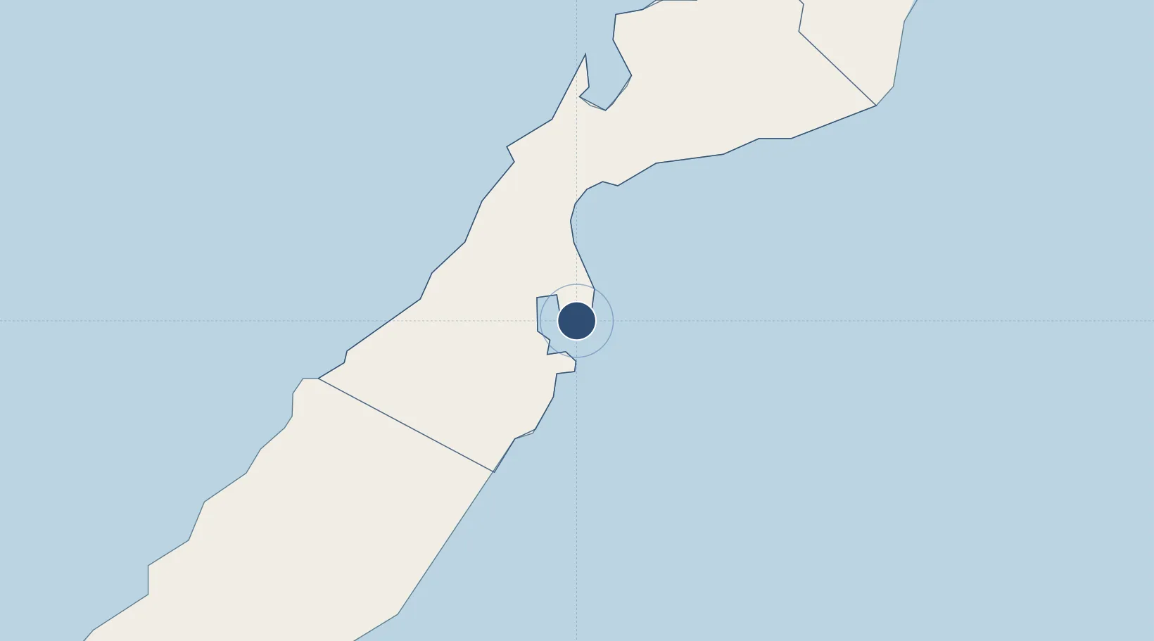
9.7420°, 118.7591°
8,530 ft
Longest runway
1
Runways
71 ft
Elevation

Runway & Layout

Puerto Princesa International Airport / PAF Antonio Bautista Air Base runway & taxiway layout
Runway & taxiway layout — OpenStreetMap (ODbL) / OurAirports

Radio Frequencies

TWR
118.1 MHz
APP
122 MHz
FSS
544.75 MHz
RDO
OurAirports

Navaids

PR VOR-DME Puerto Princesa 115.90 MHz
PR NDB Puerto Princesa 292 kHz
OurAirports

Runways · 1

RunwayDimensions SurfaceTrue headingLit
09/27 8,530 × 148ft Concrete 092°
OurAirports

Airport Specifications

IATA code
PPS
OurAirports
ICAO code
RPVP
OurAirports
Airport class
Large airport
OurAirports
Scheduled service
Yes
OurAirports
Runway surface
Concrete
OurAirports
Served city
Puerto Princesa
OurAirports

Location

Location of RPVP
Natural Earth 10m (public domain) · Puerto Princesa · RPVP · 9.74, 118.76GoogleOSMYandex

Nearby Logistics Neighbours

Airports
  1. 1San Vicente Airport104 km
  2. 2El Nido Airport178 km
  3. 3Cuyo Airport282 km
  4. 4Francisco B. Reyes (Busuanga) Airport303 km
  5. 5Evelio Javier Airport365 km
Nearest neighbours — logibook spatial index (haversine) over the source coordinates
Cities
  1. 1Batonbaton77 km
  2. 2Tindalo Oil Field148 km
  3. 3Brookes Point, Palawan149 km
  4. 4El Nido/Puerto Princesa175 km
  5. 5Balabac, Palawan273 km
Nearest neighbours — logibook spatial index (haversine) over the source coordinates
Ports
  1. 1Puerto Princesa3 km
  2. 2Kudat381 km
  3. 3Iloilo432 km
  4. 4Pelabuhan Sandakan440 km
  5. 5Pulupandan451 km
Nearest neighbours — logibook spatial index (haversine) over the source coordinates
Trade Zones
  1. 1Eastville City Walk2 km
  2. 2Puerto Princesa Environmental Estate6 km
  3. 3Kaliksi Island Tourism Economic Zone104 km
  4. 4Brookes Point Agro-Industrial Economic Zone149 km
  5. 5Green Tourism Ecozone - Apulit164 km
Nearest neighbours — logibook spatial index (haversine) over the source coordinates
DatabookThe Record of Consolidated Knowledge
Philippines beyond logistics?
Browse databook

All Sources

AirportsOurAirports
Public domain
Portsthe NGA World Port Index
Public domain (US gov)
LocationsUN/LOCODE
UN/LOCODE — free
Trade Zonesthe World Bank SEZ database
CC BY 4.0
Trade ZonesOpen Zone Map
CC BY
InfrastructureOpenStreetMap
ODbL 1.0
← Philippines airports