Transport Functions
Port
Road
Hub Profile
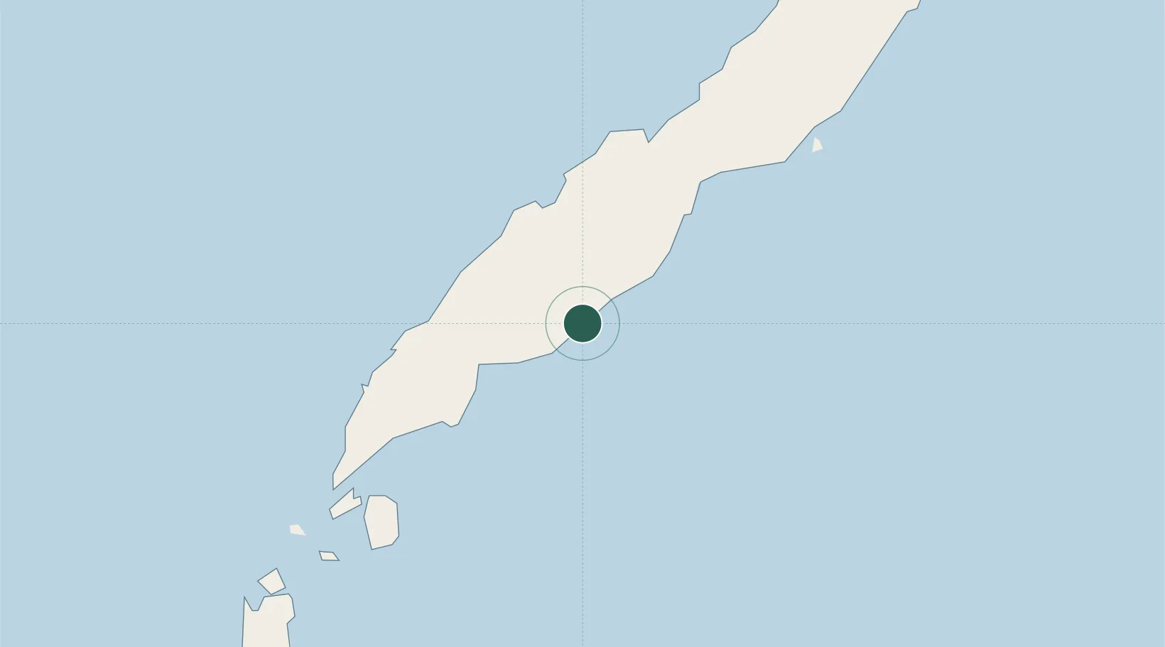
Region
PLW
Location
Nearby Logistics Neighbours
Cities
- 1Batonbaton73 km
- 2Balabac, Palawan124 km
- 3Jambongan, Sabah236 km
- 4Bangau238 km
- 5Kota Marudu278 km
Ports
- 1Puerto Princesa146 km
- 2Kudat236 km
- 3Pelabuhan Sandakan328 km
- 4Kota Kinabalu366 km
- 5Lahad Datu420 km
Airports
- 1Puerto Princesa International Airport / PAF Antonio Bautista Air Base149 km
- 2Kudat Airport232 km
- 3San Vicente Airport251 km
- 4Sandakan Airport320 km
- 5El Nido Airport322 km
Trade Zones
DatabookThe Record of Consolidated Knowledge
Philippines beyond logistics?