UN/LOCODE hub · Philippines
PHBAC

Bacong

9.2333°, 123.3000°
5,091
Population
1
Transport functions

Transport Functions

Port
UN/LOCODE

Hub Profile

Place type
District seat
GeoNames
Region
Central Visayas
GeoNames
Population
5,091
GeoNames
Time zone
Asia/Manila
GeoNames
Elevation
14 m
GeoNames

Location

Location of PHBAC
Natural Earth 10m (public domain) · Central Visayas · PHBAC · 9.23, 123.30GoogleOSMYandex

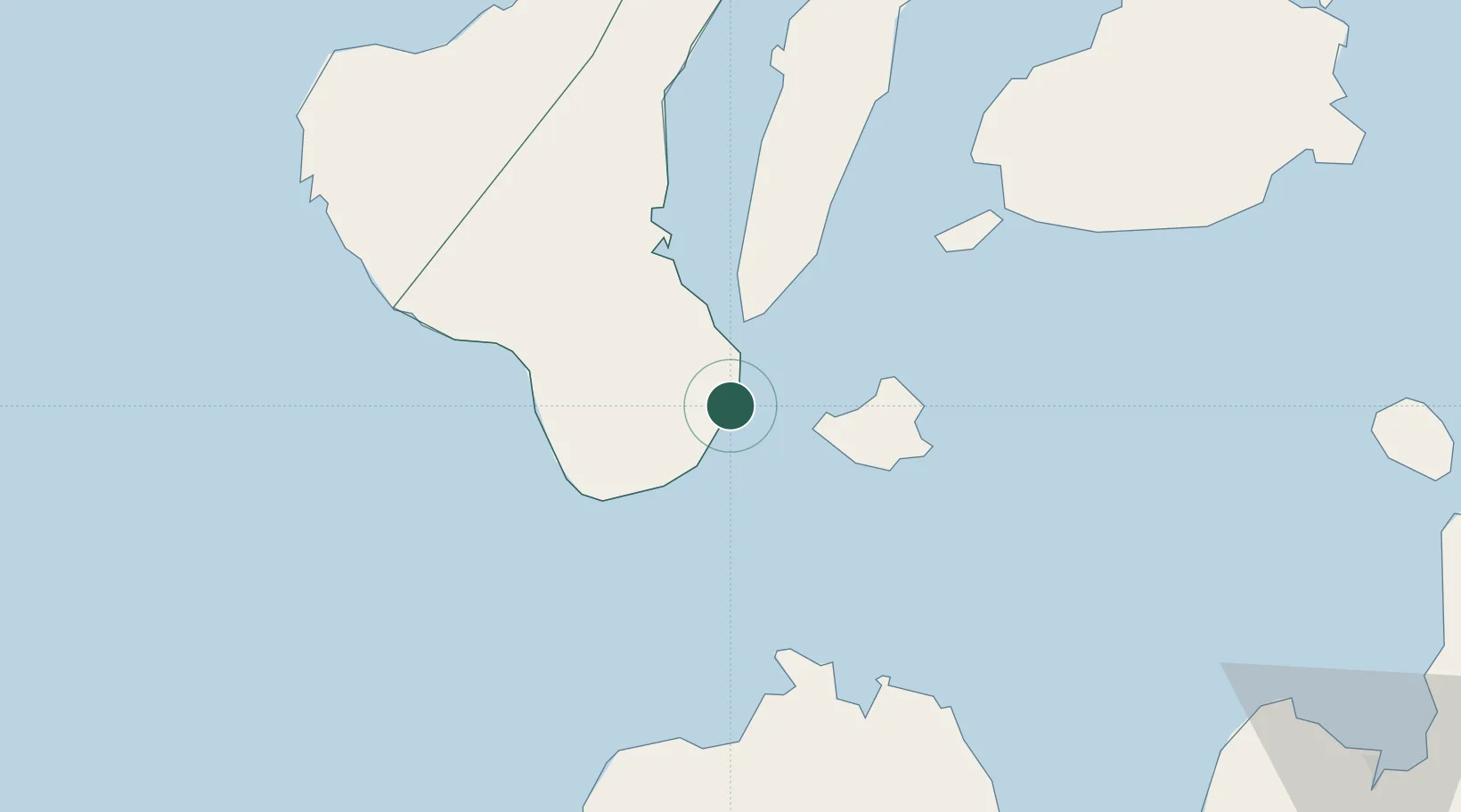
Nearby Logistics Neighbours

Cities
  1. 1Tandayag26 km
  2. 2Larena31 km
  3. 3Lazi39 km
  4. 4Malatapay39 km
  5. 5Alcoy55 km
Nearest neighbours — logibook spatial index (haversine) over the source coordinates
Ports
  1. 1Dumaguete9 km
  2. 2Lazi38 km
  3. 3Bais46 km
  4. 4Tagbilaran76 km
  5. 5Tubigan108 km
Nearest neighbours — logibook spatial index (haversine) over the source coordinates
Airports
  1. 1Sibulan Airport11 km
  2. 2Bohol-Panglao International Airport64 km
  3. 3Dipolog Airport70 km
  4. 4Labo Airport132 km
  5. 5Mactan Cebu International Airport141 km
Nearest neighbours — logibook spatial index (haversine) over the source coordinates
Trade Zones
  1. 1DBPI IT Park7 km
  2. 2Spanish Heritage IT Center8 km
  3. 3YY Star DAS Information Technology Center8 km
  4. 4LP IT Park8 km
  5. 5Marina Town Dumaguete10 km
Nearest neighbours — logibook spatial index (haversine) over the source coordinates
DatabookThe Record of Consolidated Knowledge
Philippines beyond logistics?
Browse databook

All Sources

LocationsUN/LOCODE
UN/LOCODE — free
LocationsGeoNames
CC BY 4.0
Portsthe NGA World Port Index
Public domain (US gov)
AirportsOurAirports
Public domain
Trade Zonesthe World Bank SEZ database
CC BY 4.0
Trade ZonesOpen Zone Map
CC BY
← Philippines locations