UN/LOCODE hub · Philippines
PHGHG
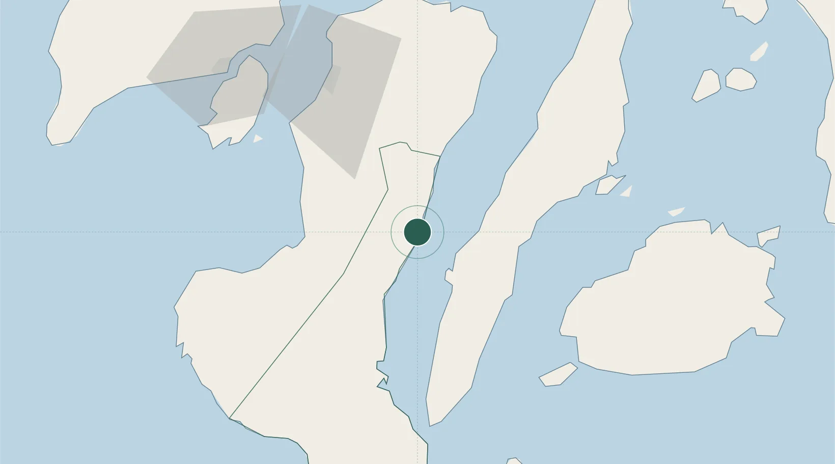
Guihulngan
10.1167°, 123.2833°
22,931
Population
1
Transport functions
Transport Functions
Port
Hub Profile
Place type
Populated place
Region
Central Visayas
Population
22,931
Time zone
Asia/Manila
Elevation
3 m
Location
Nearby Logistics Neighbours
Cities
- 1Himamaylan, Negros46 km
- 2La Carlota52 km
- 3Alcoy54 km
- 4Buanoy57 km
- 5Malatapay65 km
Ports
- 1San Carlos43 km
- 2Toledo47 km
- 3Bais60 km
- 4Pulupandan69 km
- 5Cebu71 km
Airports
Trade Zones
DatabookThe Record of Consolidated Knowledge
Philippines beyond logistics?