Transport Functions
Port
Hub Profile
Place type
Populated place
Region
Central Visayas
Time zone
Asia/Manila
Elevation
1 m
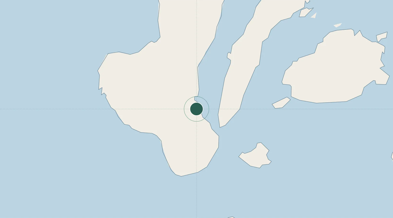
Location
Nearby Logistics Neighbours
Cities
- 1Tandayag13 km
- 2Bacong39 km
- 3Alcoy41 km
- 4Larena58 km
- 5Guihulngan65 km
Ports
- 1Bais7 km
- 2Dumaguete31 km
- 3Lazi70 km
- 4Tagbilaran78 km
- 5Tubigan100 km
Airports
Trade Zones
- 1SGI Technology Center4 km
- 2Bais City Ecozone22 km
- 3LinkSy IT Park30 km
- 4Valencia Special Economic Zone30 km
- 5Marina Town Dumaguete31 km
DatabookThe Record of Consolidated Knowledge
Philippines beyond logistics?