Transport Functions
Rail
Road
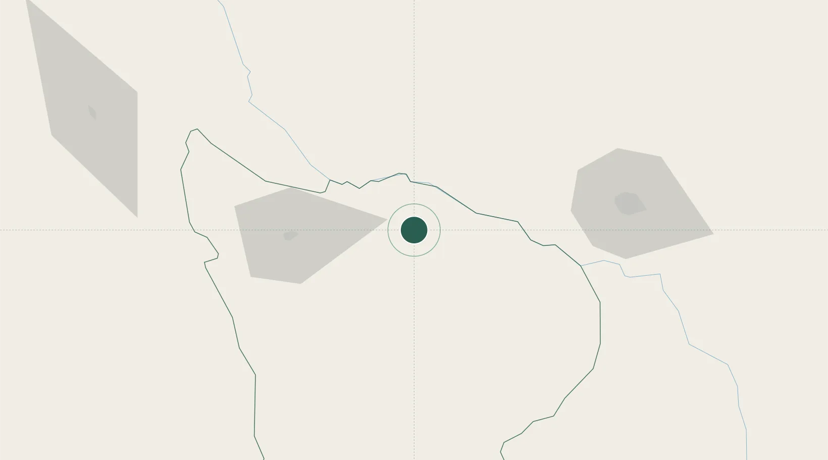
Hub Profile
Place type
Regional capital
Region
Apurímac Department
Population
72,277
Time zone
America/Lima
Elevation
2,629 m
Location
Nearby Logistics Neighbours
Cities
- 1Cailloma209 km
- 2Tambo Grande292 km
- 3San Nicolas313 km
- 4Marcona314 km
- 5Chanchamayo317 km
Ports
- 1Bahia San Nicolas312 km
- 2Bahia De Matarani383 km
- 3Puerto Ilo473 km
- 4Conchan Oil Terminal477 km
- 5Puerto Del Callao497 km
Airports
DatabookThe Record of Consolidated Knowledge
Peru beyond logistics?