Transport Functions
Multimodal
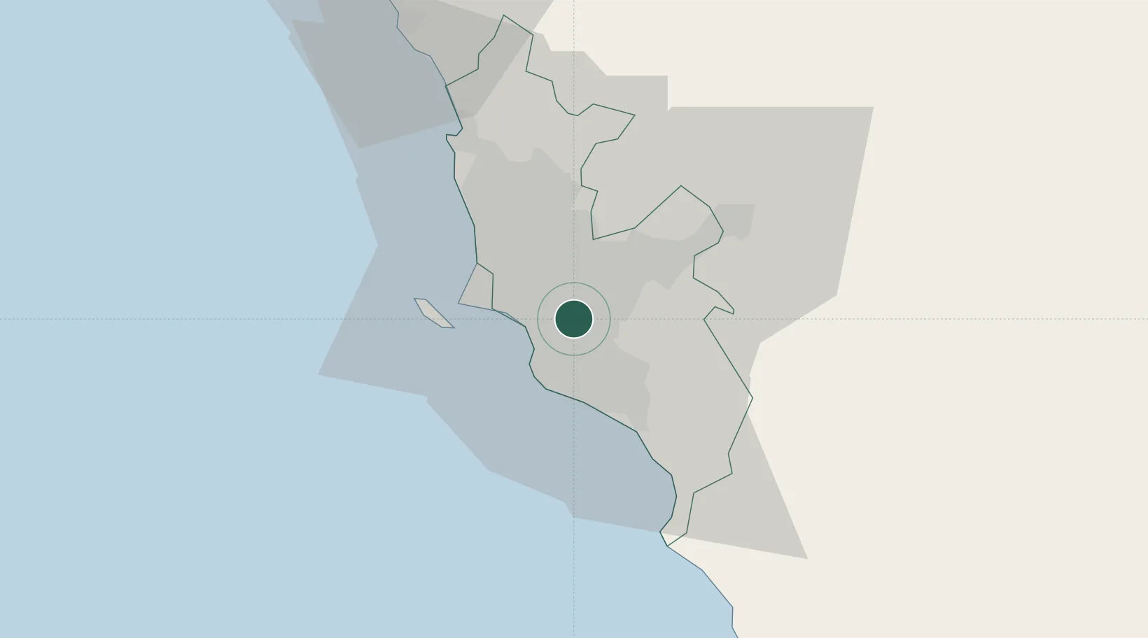
Hub Profile
Region
LIM
Location
Nearby Logistics Neighbours
Cities
- 1San Isidro9 km
- 2Lima11 km
- 3Callao18 km
- 4San Bartolo37 km
- 5Ancón43 km
Ports
- 1Conchan Oil Terminal8 km
- 2Puerto Del Callao21 km
- 3La Pampilla Oil Terminal26 km
- 4Bahia De Ancon46 km
- 5Chancay65 km
Airports
Trade Zones
- 1Zona Especial de Desarrollo Matarani (Special Development Zone of Matarani)757 km
- 2Cobija Commercial and Industrial Free Zone896 km
- 3Zona Especial de Desarrollo Paita (Special Development Zone of Paita)902 km
- 4Zona Franca de Tacna (Free Trade Zone of Tacna (ZOFRATACNA)976 km
- 5Chacalluta Arica Industrial Park996 km
DatabookThe Record of Consolidated Knowledge
Peru beyond logistics?