UN/LOCODE hub · New Zealand
NZMAU
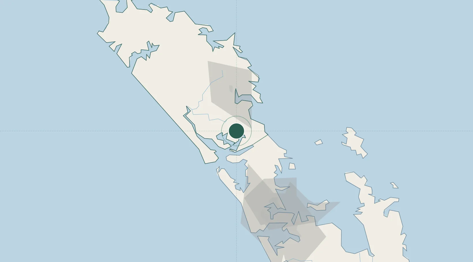
Maungaturoto
-36.1000°, 174.3667°
940
Population
1
Transport functions
Transport Functions
Multimodal
Hub Profile
Place type
Populated place
Region
Northland
Population
940
Time zone
Pacific/Auckland
Elevation
42 m
Location
Nearby Logistics Neighbours
Cities
- 1Marsden Point29 km
- 2Whangarei32 km
- 3Portland34 km
- 4Whangaparaoa69 km
- 5Kumeu76 km
Ports
- 1Whangarei34 km
- 2Opua90 km
- 3Auckland91 km
- 4Manukau Harbor100 km
- 5Whangaroa129 km
Airports
- 1Whangarei Airport37 km
- 2RNZAF Base Auckland-Whenuapai80 km
- 3Okiwi Station Airport95 km
- 4Great Barrier Aerodrome101 km
- 5Kerikeri Airport102 km
Trade Zones
- 1Hicks Bay Area Special Economic Zone374 km
- 2Rotuma-Kadavu Tax-Free Region2036 km
- 3Kalabu Tax Free Zone2043 km
- 4Nausori-Ba Tax-Free Region2051 km
- 5Lautoka Special Zone2077 km
DatabookThe Record of Consolidated Knowledge
New Zealand beyond logistics?