UN/LOCODE hub · New Zealand
NZMAP
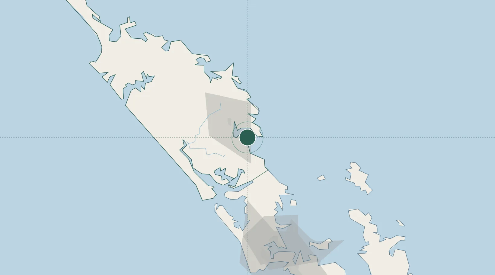
Marsden Point
-35.8507°, 174.4738°
2
Transport functions
1
Container terminals
Transport Functions
Port
Road
Hub Profile
Place type
Populated place
Region
Northland
Time zone
Pacific/Auckland
Elevation
121 m
Logistics facilities
2
Container terminals
1
Location
Nearby Logistics Neighbours
Cities
- 1Whangarei2 km
- 2Portland15 km
- 3Maungaturoto29 km
- 4Opua68 km
- 5Russel73 km
Ports
- 1Whangarei7 km
- 2Opua68 km
- 3Whangaroa110 km
- 4Auckland114 km
- 5Manukau Harbor124 km
Airports
- 1Whangarei Airport13 km
- 2Kerikeri Airport83 km
- 3Okiwi Station Airport91 km
- 4Great Barrier Aerodrome100 km
- 5RNZAF Base Auckland-Whenuapai105 km
Trade Zones
- 1Hicks Bay Area Special Economic Zone380 km
- 2Rotuma-Kadavu Tax-Free Region2007 km
- 3Kalabu Tax Free Zone2014 km
- 4Nausori-Ba Tax-Free Region2022 km
- 5Lautoka Special Zone2048 km
DatabookThe Record of Consolidated Knowledge
New Zealand beyond logistics?