Large airport · American Samoa
Pago Pago International AirportNSTU
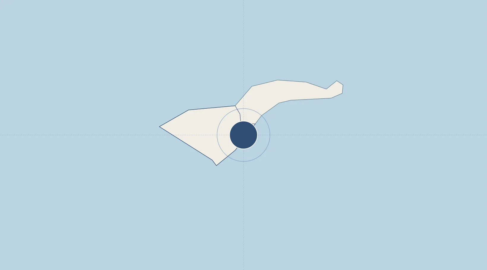
-14.3310°, -170.7100°
10,000 ft
Longest runway
2
Runways
32 ft
Elevation
Runway & Layout

Radio Frequencies
CTAF
122.9 MHz
A/D
126.9 MHz
FALEOLO APP/DEP
UNIC
118.3 MHz
UNICOM
Navaids
LOG NDB Logotala Hill 242 kHz
TUT VORTAC Pago Pago 112.50 MHz
TUT NDB Pago Pago 403 kHz
Runways · 2
| Runway | Dimensions | Surface | True heading | Lit |
|---|---|---|---|---|
| 05/23 | 10,000 × 150ft | Asphalt | 060° | ✓ |
| 08/26 | 3,800 × 100ft | Asphalt | 090° | ✓ |
Airport Specifications
IATA code
PPG
ICAO code
NSTU
Airport class
Large airport
Scheduled service
Yes
Runway surface
Asphalt
Served city
Pago Pago
Location
Nearby Logistics Neighbours
Airports
- 1Ofu Airport113 km
- 2Fitiuta Airport139 km
- 3Faleolo International Airport151 km
- 4Kuini Lavenia Airport378 km
- 5Niue International Airport535 km
Ports
- 1Pago Pago Harbor7 km
- 2Apia128 km
- 3Alofi529 km
- 4Neiafu594 km
- 5Mata-Utu597 km
Trade Zones
- 1FTZ No. 009 Honolulu4203 km
- 2FTZ No. 205 Port Hueneme7661 km
- 3FTZ No. 003 San Francisco7679 km
- 4FTZ No. 018 San Jose7682 km
- 5FTZ No. 056 Oakland7688 km
DatabookThe Record of Consolidated Knowledge
American Samoa beyond logistics?