UN/LOCODE hub · Norway
NORES

Raunes - Vindafjord

59.4333°, 5.7500°
1
Transport functions

Transport Functions

Port
UN/LOCODE

Hub Profile

Region
11
GeoNames

Location

Location of NORES
Natural Earth 10m (public domain) · 11 · NORES · 59.43, 5.75GoogleOSMYandex

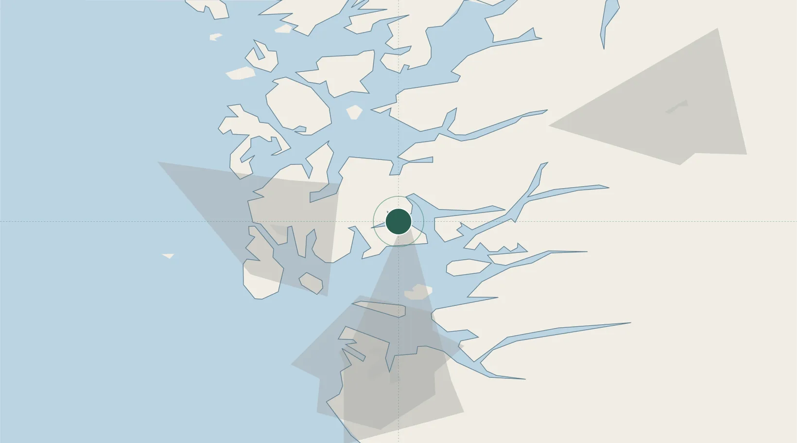
Nearby Logistics Neighbours

Cities
  1. 1Vats6 km
  2. 2Vikedal12 km
  3. 3Sandeid14 km
  4. 4Espevik14 km
  5. 5Ølen19 km
Nearest neighbours — logibook spatial index (haversine) over the source coordinates
Ports
  1. 1Karsto23 km
  2. 2Haugesund28 km
  3. 3Kopervik30 km
  4. 4Mosterhamn36 km
  5. 5Akrahamn37 km
Nearest neighbours — logibook spatial index (haversine) over the source coordinates
Airports
  1. 1Haugesund Airport, Karmøy32 km
  2. 2Stord Airport, Sørstokken46 km
  3. 3Stavanger Airport, Sola62 km
  4. 4Bergen Airport, Flesland100 km
  5. 5Kristiansand Airport192 km
Nearest neighbours — logibook spatial index (haversine) over the source coordinates
Trade Zones
  1. 1Gothenburg Boundless Customs Warehouse400 km
  2. 2Freeport of Kiel627 km
  3. 3Freeport of Cuxhaven (Freihafen Cuxhaven)647 km
  4. 4North Eastern Enterprise Zone666 km
  5. 5Tees Valley Enterprise Zone681 km
Nearest neighbours — logibook spatial index (haversine) over the source coordinates
DatabookThe Record of Consolidated Knowledge
Norway beyond logistics?
Browse databook

All Sources

LocationsUN/LOCODE
UN/LOCODE — free
Portsthe NGA World Port Index
Public domain (US gov)
AirportsOurAirports
Public domain
Trade Zonesthe World Bank SEZ database
CC BY 4.0
Trade ZonesOpen Zone Map
CC BY
← Norway locations