Transport Functions
Port
Hub Profile
Place type
Populated place
Region
Trøndelag
Time zone
Europe/Oslo
Elevation
1 m
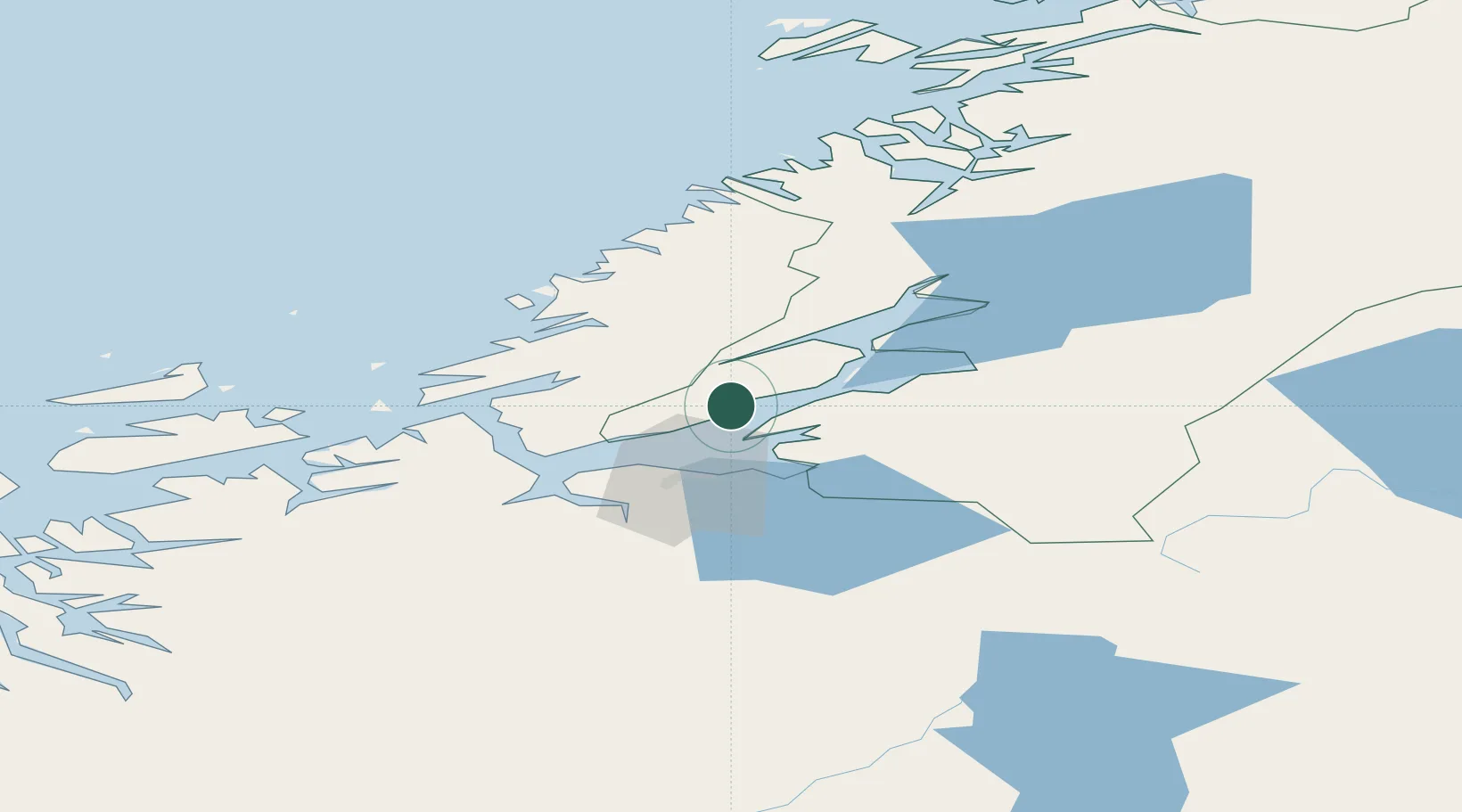
Location
Nearby Logistics Neighbours
Cities
- 1Langstein19 km
- 2Vanvikan-Leksvik23 km
- 3Stjørdal26 km
- 4Kolvereid26 km
- 5Ranheim26 km
Ports
- 1Langstein19 km
- 2Trondheim27 km
- 3Fiborgtangen27 km
- 4Muruvik27 km
- 5Hommelvik29 km
Airports
- 1Trondheim Airport, Værnes28 km
- 2Ørland Airport50 km
- 3Namsos Airport101 km
- 4Røros Airport126 km
- 5Rørvik Airport, Ryum133 km
Trade Zones
DatabookThe Record of Consolidated Knowledge
Norway beyond logistics?