Transport Functions
Port
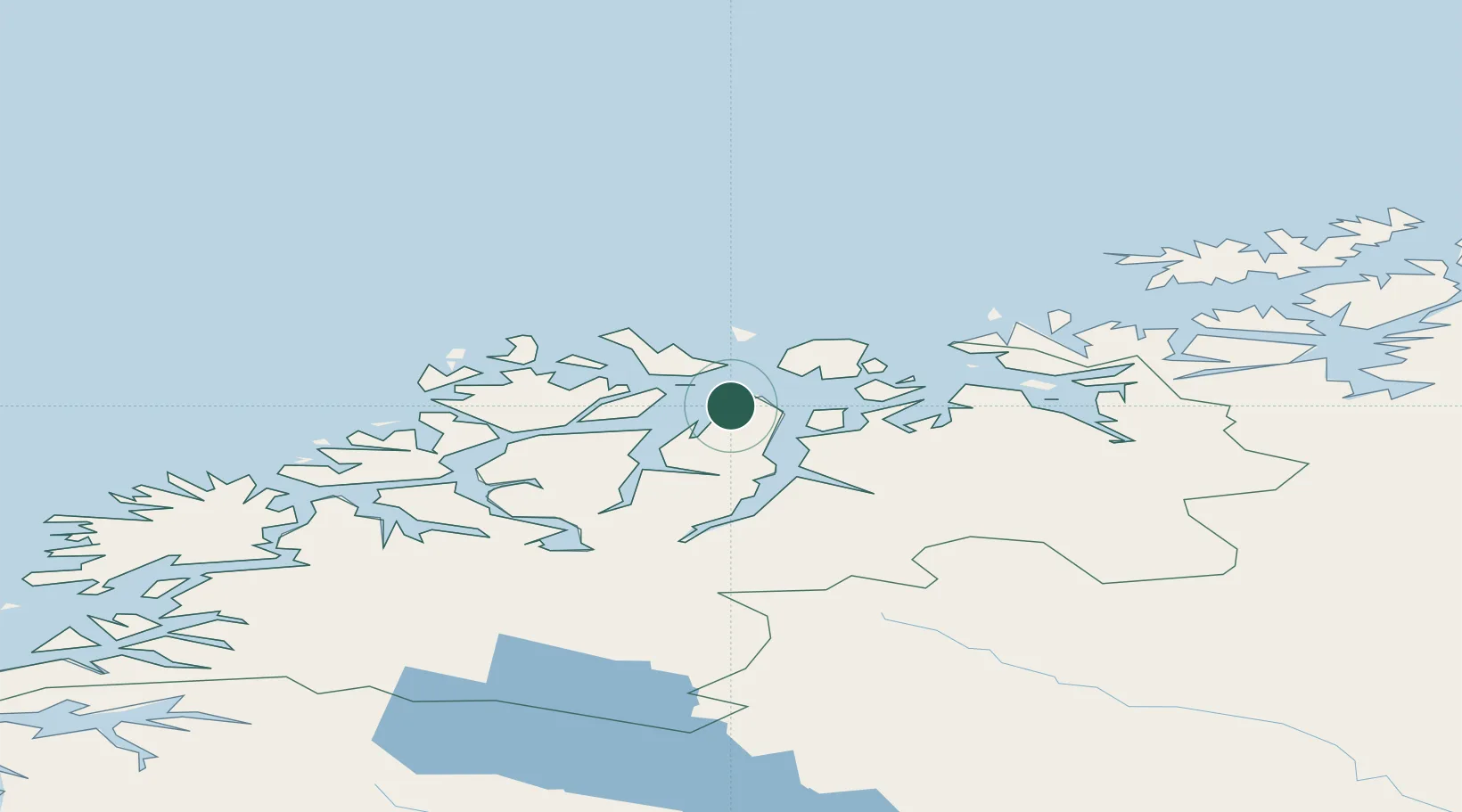
Hub Profile
Place type
Populated place
Region
Troms
Time zone
Europe/Oslo
Elevation
1 m
Location
Nearby Logistics Neighbours
Cities
- 1Lenangen Søndre13 km
- 2Lenangsøyra13 km
- 3Stakkvik19 km
- 4Hansnes22 km
- 5Uløybukt22 km
Airports
- 1Sørkjosen Airport34 km
- 2Tromsø Airport55 km
- 3Hasvik Airport98 km
- 4Bardufoss Airport115 km
- 5Alta Airport122 km
Trade Zones
- 1Murmansk Special Economic Zone515 km
- 2Oulu Port Free Warehouse Area591 km
- 3Free Zone of Lappeenranta1051 km
- 4Turku Free Zone1058 km
- 5Port of Hamina-Kotka1095 km
DatabookThe Record of Consolidated Knowledge
Norway beyond logistics?