Transport Functions
Rail
Road
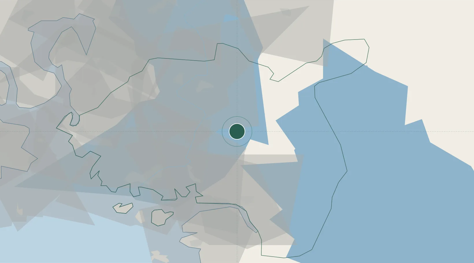
Hub Profile
Place type
Provincial seat
Region
Østfold
Population
3,779
Time zone
Europe/Oslo
Elevation
107 m
Location
Nearby Logistics Neighbours
Cities
- 1Sarpsborg22 km
- 2Greåker25 km
- 3Sperrebotn31 km
- 4Fredrikstad34 km
- 5Halden35 km
Ports
- 1Sarpsborg22 km
- 2Halden33 km
- 3Fredrikstad35 km
- 4Kambo38 km
- 5Moss39 km
Airports
- 1Moss Airport, Rygge32 km
- 2Sandefjord Airport, Torp67 km
- 3Oslo-Gardermoen International Airport88 km
- 4Skien Airport104 km
- 5Karlstad Airport112 km
Trade Zones
DatabookThe Record of Consolidated Knowledge
Norway beyond logistics?