Transport Functions
Rail
Road
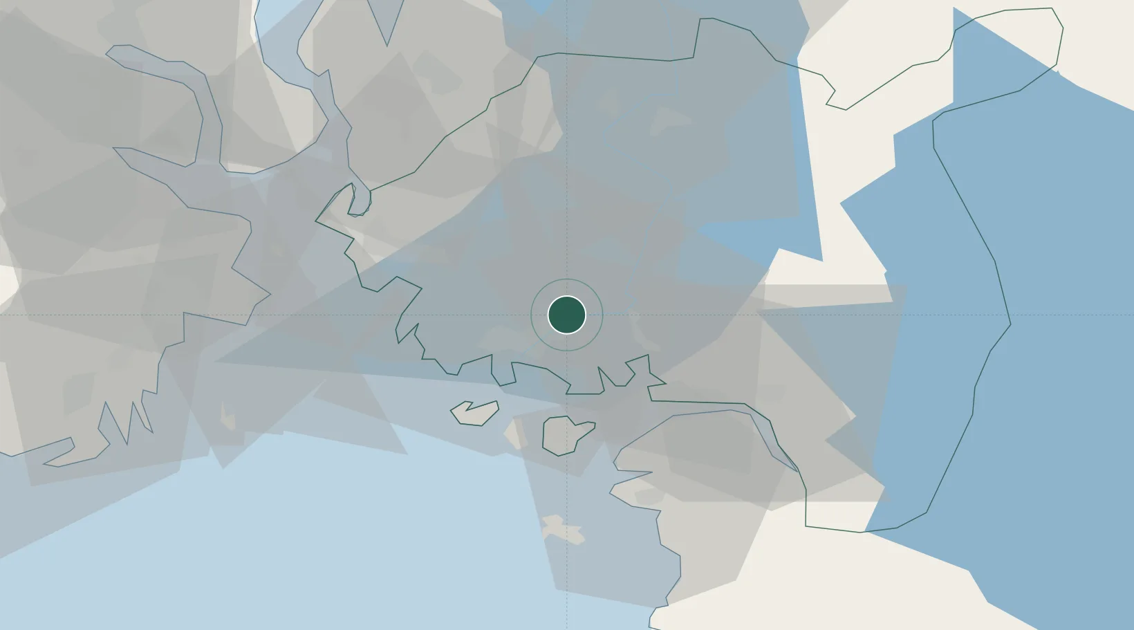
Hub Profile
Place type
Populated place
Region
Østfold
Time zone
Europe/Oslo
Elevation
8 m
Location
Nearby Logistics Neighbours
Cities
- 1Sarpsborg4 km
- 2Fredrikstad10 km
- 3Utgårdskilen23 km
- 4Larkollen23 km
- 5Kalvik24 km
Ports
- 1Sarpsborg4 km
- 2Fredrikstad11 km
- 3Halden26 km
- 4Moss29 km
- 5Slagenstangen30 km
Airports
- 1Moss Airport, Rygge19 km
- 2Sandefjord Airport, Torp45 km
- 3Skien Airport84 km
- 4Oslo-Gardermoen International Airport103 km
- 5Notodden Airport108 km
Trade Zones
DatabookThe Record of Consolidated Knowledge
Norway beyond logistics?