Seaport · Norway
FredrikstadNOFRK
59.1792°, 10.9528°
4.9 m
Channel depth
1
Container terminals
43.0
Port liner connectivity
Channel & Berth Profile
Pilotage, Tugs & Services
Pilotage compulsoryYES
Pilotage availableYES
Pilotage advisableYES
Tug assistanceYES
Potable waterYES
Diesel bunkersYES
MedicalYES
Garbage disposalYES
Facilities & Capabilities
Container—
Ro-Ro—
Liquid bulk—
Dry bulk—
Oil terminal—
Break bulk—
Dry dockNO
RepairsNO
BunkeringYES
Rail linkYES
Dangerous cargo—
ISPS security—
Harbour Specifications
Harbour size
Small
Harbour type
River (Natural)
Shelter
Good
Water body
Skagerrak; North Atlantic Ocean
Tidal range
1 m
Overhead limit
Yes
Pilotage
Yes
Liner Connectivity
43
PLSCI
Port Liner Shipping Connectivity Index for Fredrikstad, as published by UNCTAD for the latest available quarter. Higher values indicate stronger scheduled liner-shipping integration.
Shown relative to the highest per-port PLSCI in the dataset (1,657.9).
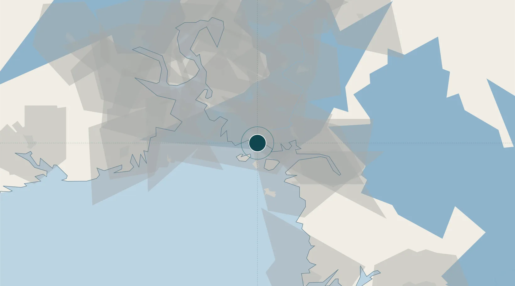
Location
Container Terminals · 1
BORG HAVN FREDRIKSTAD-OERA
OERK BORG HAVN IKS
Nearby Logistics Neighbours
Ports
- 1Sarpsborg13 km
- 2Halden26 km
- 3Valloy28 km
- 4Slagenstangen30 km
- 5Stromstad30 km
Cities
- 1Greåker11 km
- 2Utgårdskilen12 km
- 3Sarpsborg13 km
- 4Kalvik18 km
- 5Skjærhalden19 km
Airports
- 1Moss Airport, Rygge24 km
- 2Sandefjord Airport, Torp40 km
- 3Skien Airport79 km
- 4Notodden Airport108 km
- 5Oslo-Gardermoen International Airport113 km
Trade Zones
DatabookThe Record of Consolidated Knowledge
Norway beyond logistics?