Medium airport · Sweden

Karlstad AirportESOK
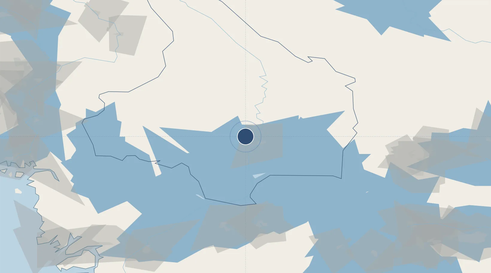
59.4447°, 13.3374°
8,255 ft
Longest runway
2
Runways
352 ft
Elevation

Runway & Layout

Karlstad Airport runway & taxiway layout
Runway & taxiway layout — OpenStreetMap (ODbL) / OurAirports

Radio Frequencies

TWR
119.45 MHz
OurAirports

Navaids

KSD VOR-DME Karlstad 117.80 MHz
OurAirports

Runways · 2

RunwayDimensions SurfaceTrue headingLit
03/21 8,255 × 148ft Asphalt 026°
03L/21R 1,840 × 170ft Graded earth 026°
OurAirports

Airport Specifications

IATA code
KSD
OurAirports
ICAO code
ESOK
OurAirports
Airport class
Medium airport
OurAirports
Scheduled service
Yes
OurAirports
Runway surface
Asphalt
OurAirports
Served city
Karlstad
OurAirports

Location

Location of ESOK
Natural Earth 10m (public domain) · Värmland · ESOK · 59.44, 13.34GoogleOSMYandex

Nearby Logistics Neighbours

Airports
  1. 1Hagfors Airport65 km
  2. 2Karlskoga Airport67 km
  3. 3Torsby Airport82 km
  4. 4Örebro Airport100 km
  5. 5Råda Air Base107 km
Nearest neighbours — logibook spatial index (haversine) over the source coordinates
Cities
  1. 1Edsvalla9 km
  2. 2Vålberg11 km
  3. 3Älvenäs11 km
  4. 4Karlstad13 km
  5. 5Skoghall14 km
Nearest neighbours — logibook spatial index (haversine) over the source coordinates
Ports
  1. 1Halden117 km
  2. 2Sarpsborg128 km
  3. 3Stromstad136 km
  4. 4Fredrikstad139 km
  5. 5Grebbestad147 km
Nearest neighbours — logibook spatial index (haversine) over the source coordinates
Trade Zones
  1. 1Jönköping Free Zone192 km
  2. 2Gothenburg Boundless Customs Warehouse213 km
  3. 3Stockholm Free Zone270 km
  4. 4Freeport of Copenhagen- Nordhavn417 km
  5. 5MTS Malmö Transport and Spedition427 km
Nearest neighbours — logibook spatial index (haversine) over the source coordinates
DatabookThe Record of Consolidated Knowledge
Sweden beyond logistics?
Browse databook

All Sources

AirportsOurAirports
Public domain
Portsthe NGA World Port Index
Public domain (US gov)
LocationsUN/LOCODE
UN/LOCODE — free
Trade Zonesthe World Bank SEZ database
CC BY 4.0
Trade ZonesOpen Zone Map
CC BY
InfrastructureOpenStreetMap
ODbL 1.0
← Sweden airports