UN/LOCODE hub · Norway
NOFRK
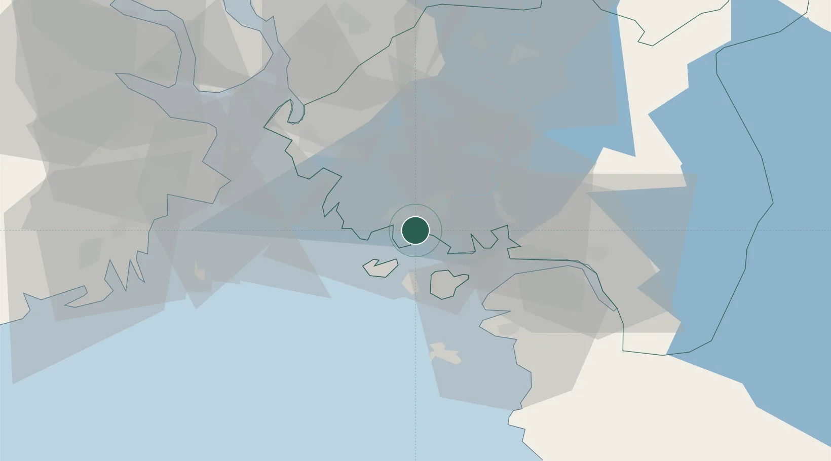
Fredrikstad
59.1841°, 10.9554°
83,761
Population
3
Transport functions
1
Container terminals
Transport Functions
Port
Rail
Road
Hub Profile
Place type
Provincial seat
Region
Østfold
Population
83,761
Time zone
Europe/Oslo
Elevation
6 m
Logistics facilities
2
Container terminals
1
Location
Nearby Logistics Neighbours
Cities
- 1Greåker10 km
- 2Utgårdskilen12 km
- 3Sarpsborg12 km
- 4Kalvik18 km
- 5Skjærhalden19 km
Ports
- 1Sarpsborg12 km
- 2Halden26 km
- 3Valloy28 km
- 4Slagenstangen30 km
- 5Stromstad30 km
Airports
- 1Moss Airport, Rygge24 km
- 2Sandefjord Airport, Torp40 km
- 3Skien Airport79 km
- 4Notodden Airport107 km
- 5Oslo-Gardermoen International Airport113 km
Trade Zones
DatabookThe Record of Consolidated Knowledge
Norway beyond logistics?