Seaport · Norway
MossNOMSS
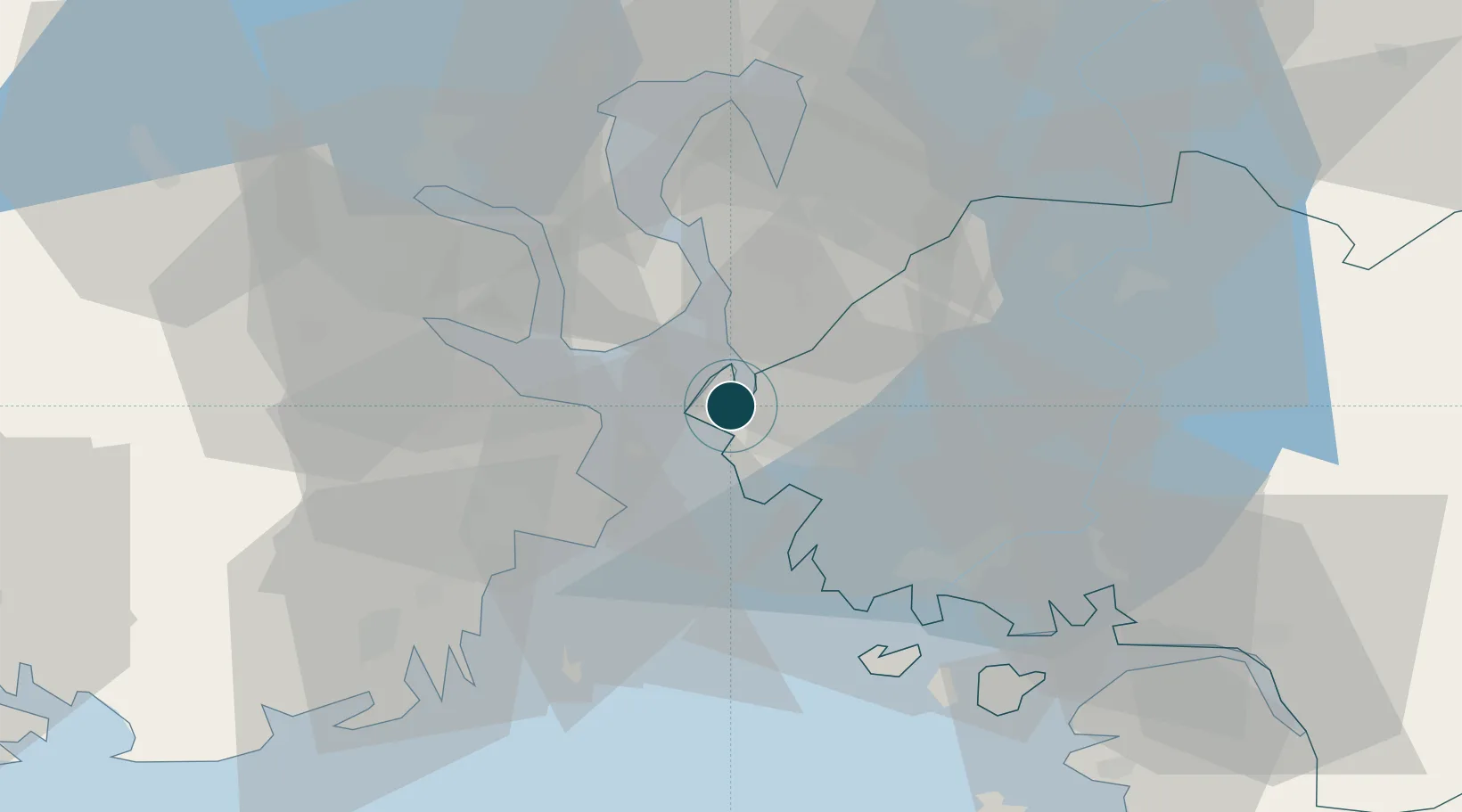
59.4406°, 10.6553°
11.0 m
Channel depth
1
Container terminals
33.1
Port liner connectivity
Channel & Berth Profile
Pilotage, Tugs & Services
Pilotage compulsoryNO
Pilotage availableYES
Tug assistanceYES
Potable waterYES
Garbage disposalYES
Facilities & Capabilities
ContainerYES
Ro-RoYES
Liquid bulkYES
Dry bulkYES
Oil terminalNO
Break bulkYES
Dry dockNO
RepairsNO
Bunkering—
Rail linkYES
Dangerous cargo—
ISPS security—
Harbour Specifications
Harbour size
Small
Harbour type
Coastal (Natural)
Shelter
Good
Water body
Skagerrak; North Atlantic Ocean
Tidal range
2 m
Overhead limit
Yes
Pilotage
No
Liner Connectivity
33.1
PLSCI
Port Liner Shipping Connectivity Index for Moss, as published by UNCTAD for the latest available quarter. Higher values indicate stronger scheduled liner-shipping integration.
Shown relative to the highest per-port PLSCI in the dataset (1,657.9).
Location
Container Terminals · 1
MOSS CONTAINER TERMINAL
MCT WESTPORT MOSS AS
Nearby Logistics Neighbours
Ports
- 1Kambo4 km
- 2Horten9 km
- 3Tofte13 km
- 4Slagenstangen15 km
- 5Holmestrand19 km
Cities
- 1Mosterhamn2 km
- 2Kambo3 km
- 3Sperrebotn8 km
- 4Horten11 km
- 5Tofte - Hurum12 km
Airports
- 1Moss Airport, Rygge10 km
- 2Sandefjord Airport, Torp36 km
- 3Skien Airport68 km
- 4Notodden Airport83 km
- 5Oslo-Gardermoen International Airport87 km
Trade Zones
DatabookThe Record of Consolidated Knowledge
Norway beyond logistics?