Transport Functions
Port
Rail
Road
Hub Profile
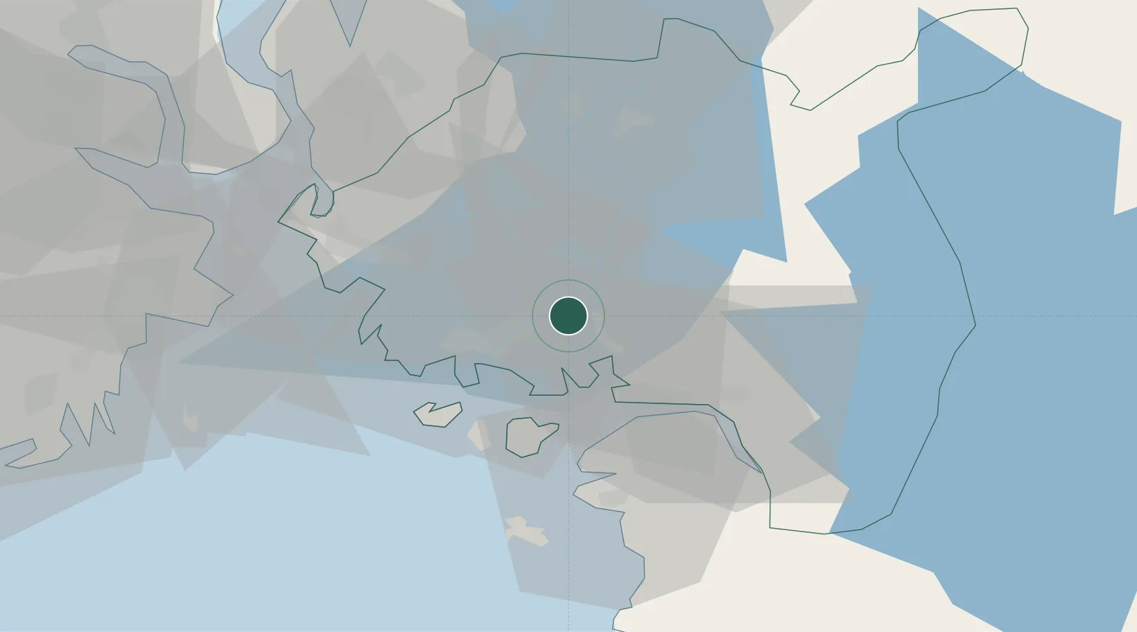
Place type
Regional capital
Region
Østfold
Population
59,038
Time zone
Europe/Oslo
Elevation
54 m
Location
Nearby Logistics Neighbours
Cities
- 1Greåker4 km
- 2Fredrikstad12 km
- 3Rakkestad22 km
- 4Kalvik23 km
- 5Halden24 km
Ports
- 1Fredrikstad13 km
- 2Halden23 km
- 3Moss32 km
- 4Kambo33 km
- 5Slagenstangen34 km
Airports
- 1Moss Airport, Rygge22 km
- 2Sandefjord Airport, Torp49 km
- 3Skien Airport88 km
- 4Oslo-Gardermoen International Airport103 km
- 5Notodden Airport112 km
Trade Zones
DatabookThe Record of Consolidated Knowledge
Norway beyond logistics?