Seaport · Norway

HaldenNOHAL

59.1167°, 11.3833°
6.4 m
Channel depth
11.6
Port liner connectivity
Halden is also a UN/LOCODE logistics hub →

Channel & Berth Profile

SEA LEVEL (CD)CHANNEL BEDCargo pier · 4.9 mChannel · 6.4 mAnchorage · 12.5 m
NGA World Port Index

Pilotage, Tugs & Services

Pilotage compulsoryYES
Pilotage availableYES
Pilotage advisableYES
Tug assistanceYES
Potable waterYES
MedicalYES
Garbage disposalYES
NGA World Port Index

Facilities & Capabilities

ContainerYES
Ro-RoNO
Liquid bulkNO
Dry bulkYES
Oil terminalNO
Break bulkYES
Dry dock
RepairsNO
BunkeringYES
Rail linkYES
Dangerous cargo
ISPS security
NGA World Port Index

Harbour Specifications

Harbour size
Small
NGA World Port Index
Harbour type
River (Natural)
NGA World Port Index
Shelter
Good
NGA World Port Index
Water body
Skagerrak; North Atlantic Ocean
NGA World Port Index
Tidal range
1 m
NGA World Port Index
Overhead limit
Yes
NGA World Port Index
Pilotage
Yes
NGA World Port Index

Liner Connectivity

11.6
PLSCI

Port Liner Shipping Connectivity Index for Halden, as published by UNCTAD for the latest available quarter. Higher values indicate stronger scheduled liner-shipping integration.

Shown relative to the highest per-port PLSCI in the dataset (1,657.9).
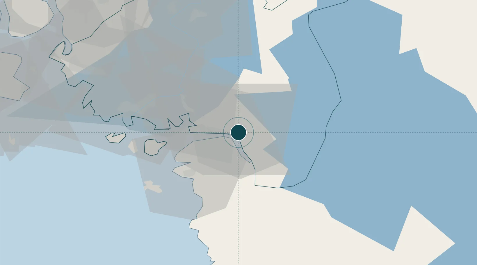
UNCTAD · Port Liner Shipping Connectivity Index

Location

Location of NOHAL
Natural Earth 10m (public domain) · Østfold · NOHAL · 59.12, 11.38GoogleOSMYandex

Nearby Logistics Neighbours

Ports
  1. 1Sarpsborg23 km
  2. 2Stromstad24 km
  3. 3Fredrikstad26 km
  4. 4Grebbestad50 km
  5. 5Valloy53 km
Nearest neighbours — logibook spatial index (haversine) over the source coordinates
Cities
  1. 1Kalvik13 km
  2. 2Skjærhalden23 km
  3. 3Sarpsborg23 km
  4. 4Strömstad23 km
  5. 5Fredrikstad26 km
Nearest neighbours — logibook spatial index (haversine) over the source coordinates
Airports
  1. 1Moss Airport, Rygge45 km
  2. 2Sandefjord Airport, Torp65 km
  3. 3Skien Airport104 km
  4. 4Trollhättan-Vänersborg Airport105 km
  5. 5Såtenäs Air Base109 km
Nearest neighbours — logibook spatial index (haversine) over the source coordinates
Trade Zones
  1. 1Gothenburg Boundless Customs Warehouse159 km
  2. 2Jönköping Free Zone218 km
  3. 3Stockholm Free Zone383 km
  4. 4Freeport of Copenhagen- Nordhavn385 km
  5. 5MTS Malmö Transport and Spedition404 km
Nearest neighbours — logibook spatial index (haversine) over the source coordinates
DatabookThe Record of Consolidated Knowledge
Norway beyond logistics?
Browse databook

All Sources

Portsthe NGA World Port Index
Public domain (US gov)
Logistics performanceUNCTAD
CC BY 3.0 IGO
AirportsOurAirports
Public domain
LocationsUN/LOCODE
UN/LOCODE — free
Trade Zonesthe World Bank SEZ database
CC BY 4.0
Trade ZonesOpen Zone Map
CC BY
← Norway ports