Transport Functions
Port
Road
Hub Profile
Place type
Populated place
Region
Østfold
Time zone
Europe/Oslo
Elevation
60 m
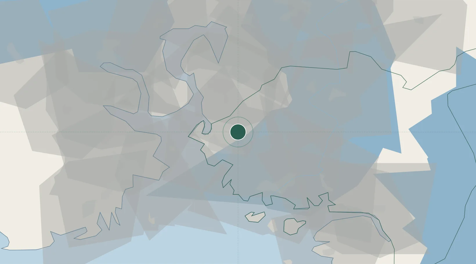
Location
Nearby Logistics Neighbours
Cities
- 1Kambo7 km
- 2Moss9 km
- 3Mosterhamn9 km
- 4Larkollen16 km
- 5Tofte - Hurum16 km
Ports
- 1Kambo7 km
- 2Moss8 km
- 3Tofte17 km
- 4Horten17 km
- 5Slagenstangen21 km
Airports
- 1Moss Airport, Rygge8 km
- 2Sandefjord Airport, Torp42 km
- 3Skien Airport76 km
- 4Oslo-Gardermoen International Airport84 km
- 5Notodden Airport90 km
Trade Zones
DatabookThe Record of Consolidated Knowledge
Norway beyond logistics?