Transport Functions
Port
Rail
Road
Hub Profile
Place type
Provincial seat
Region
Østfold
Population
21,970
Time zone
Europe/Oslo
Elevation
15 m
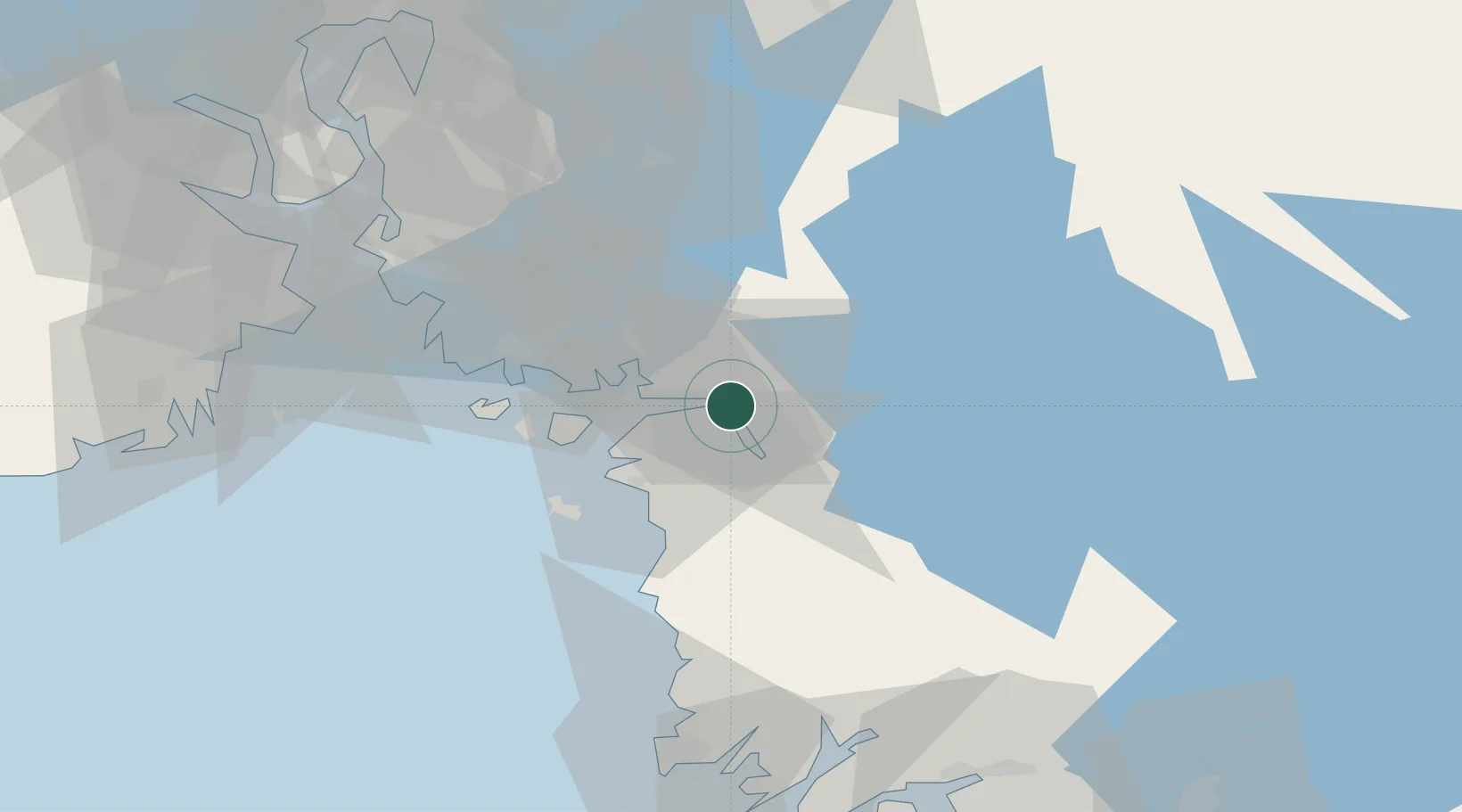
Location
Nearby Logistics Neighbours
Cities
- 1Kalvik11 km
- 2Skjærhalden21 km
- 3Strömstad21 km
- 4Sarpsborg24 km
- 5Fredrikstad25 km
Ports
- 1Stromstad22 km
- 2Sarpsborg24 km
- 3Fredrikstad25 km
- 4Grebbestad48 km
- 5Valloy53 km
Airports
- 1Moss Airport, Rygge45 km
- 2Sandefjord Airport, Torp64 km
- 3Skien Airport103 km
- 4Trollhättan-Vänersborg Airport104 km
- 5Såtenäs Air Base108 km
Trade Zones
DatabookThe Record of Consolidated Knowledge
Norway beyond logistics?