Transport Functions
Port
Road
Hub Profile
Place type
Populated place
Region
Troms
Time zone
Europe/Oslo
Elevation
40 m
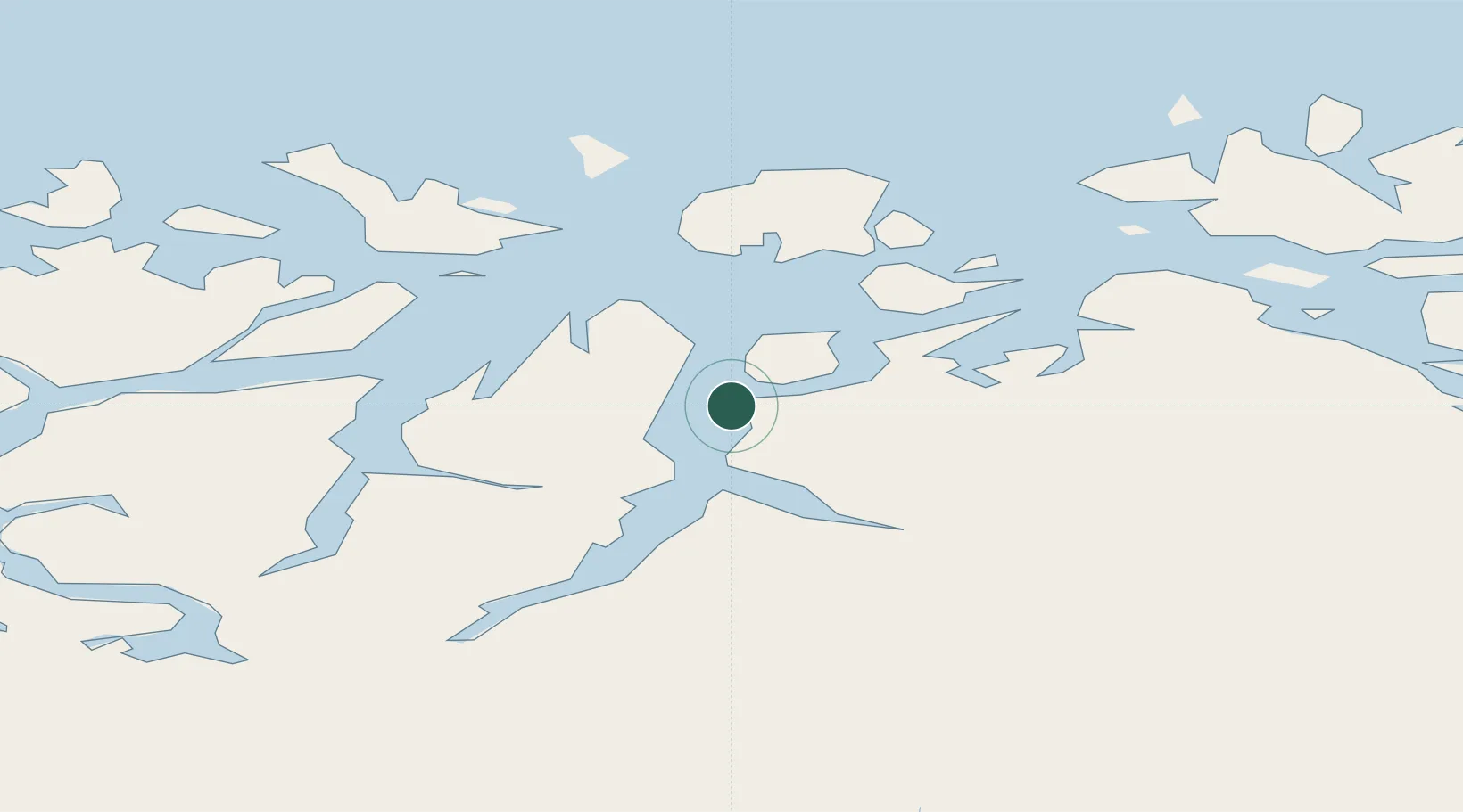
Location
Nearby Logistics Neighbours
Cities
- 1Uløybukt14 km
- 2Olderdalen17 km
- 3Sørkjosen18 km
- 4Lenangen Søndre21 km
- 5Lenangsøyra21 km
Airports
- 1Sørkjosen Airport18 km
- 2Tromsø Airport61 km
- 3Hasvik Airport103 km
- 4Bardufoss Airport109 km
- 5Alta Airport113 km
Trade Zones
- 1Murmansk Special Economic Zone500 km
- 2Oulu Port Free Warehouse Area568 km
- 3Free Zone of Lappeenranta1029 km
- 4Turku Free Zone1038 km
- 5Port of Hamina-Kotka1074 km
DatabookThe Record of Consolidated Knowledge
Norway beyond logistics?