Transport Functions
Port
Hub Profile
Place type
Provincial seat
Region
Vestland
Population
1,751
Time zone
Europe/Oslo
Elevation
4 m
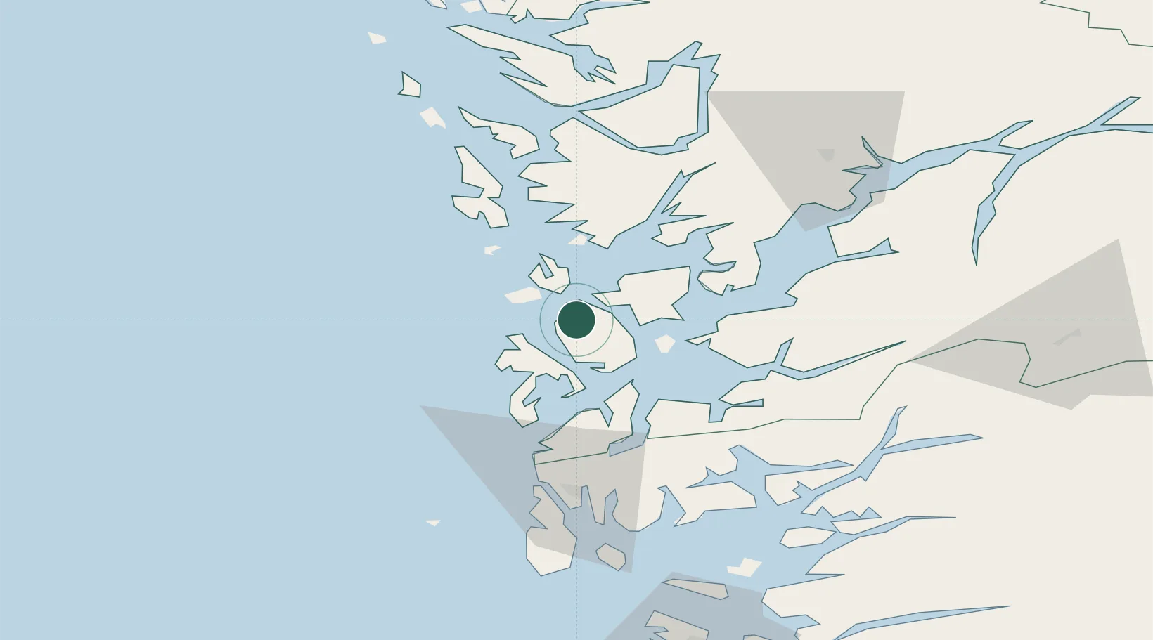
Location
Nearby Logistics Neighbours
Cities
- 1Brandasund12 km
- 2Rubbestadneset13 km
- 3Salthella15 km
- 4Bremnes17 km
- 5Leirvik20 km
Ports
- 1Leirvik20 km
- 2Mosterhamn25 km
- 3Husnes25 km
- 4Haakonsvern47 km
- 5Brattholmen49 km
Airports
- 1Stord Airport, Sørstokken14 km
- 2Bergen Airport, Flesland42 km
- 3Haugesund Airport, Karmøy64 km
- 4Stavanger Airport, Sola117 km
- 5Førde Airport, Bringeland166 km
Trade Zones
DatabookThe Record of Consolidated Knowledge
Norway beyond logistics?