Small airport · Norway

Førde Airport, BringelandENBL
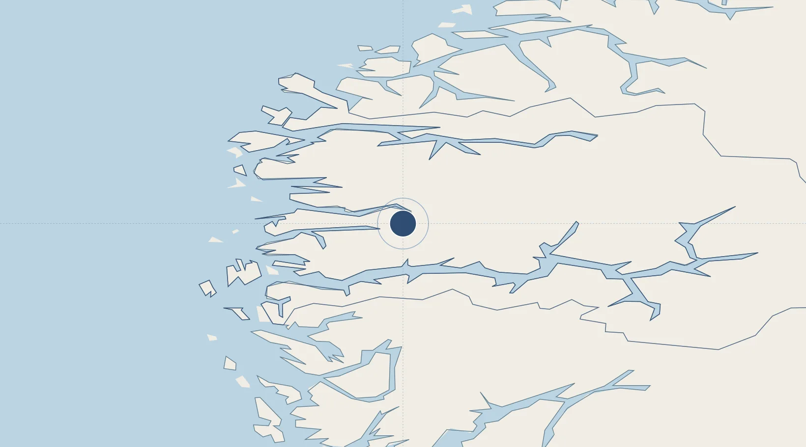
61.3911°, 5.7569°
3,084 ft
Longest runway
1
Runways
1,046 ft
Elevation

Runway & Layout

Førde Airport, Bringeland runway & taxiway layout
Runway & taxiway layout — OpenStreetMap (ODbL) / OurAirports

Radio Frequencies

AFIS
118.45 MHz
Bringeland
OurAirports

Navaids

BL NDB Bringeland 374 kHz
FT NDB Fleten 345 kHz
LS NDB Langeneset 339 kHz
OurAirports

Runways · 1

RunwayDimensions SurfaceTrue headingLit
07/25 3,084 × 98ft Asphalt 074°
OurAirports

Airport Specifications

IATA code
FDE
OurAirports
ICAO code
ENBL
OurAirports
Airport class
Small airport
OurAirports
Scheduled service
Yes
OurAirports
Runway surface
Asphalt
OurAirports
Served city
Førde
OurAirports

Location

Location of ENBL
Natural Earth 10m (public domain) · Sogn og Fjordane · ENBL · 61.39, 5.76GoogleOSMYandex

Nearby Logistics Neighbours

Airports
  1. 1Florø Airport44 km
  2. 2Sandane Airport, Anda52 km
  3. 3Sogndal Airport, Haukåsen78 km
  4. 4Ørsta-Volda Airport, Hovden89 km
  5. 5Bergen Airport, Flesland126 km
Nearest neighbours — logibook spatial index (haversine) over the source coordinates
Cities
  1. 1Bygstad5 km
  2. 2Førde8 km
  3. 3Dale18 km
  4. 4Vadheim22 km
  5. 5Høyanger25 km
Nearest neighbours — logibook spatial index (haversine) over the source coordinates
Ports
  1. 1Floro45 km
  2. 2Maloy69 km
  3. 3Mongstad73 km
  4. 4Orstav92 km
  5. 5Stura98 km
Nearest neighbours — logibook spatial index (haversine) over the source coordinates
Trade Zones
  1. 1Gothenburg Boundless Customs Warehouse533 km
  2. 2Freeport of Copenhagen- Nordhavn745 km
  3. 3MTS Malmö Transport and Spedition771 km
  4. 4Freeport of Kiel827 km
  5. 5North Eastern Enterprise Zone834 km
Nearest neighbours — logibook spatial index (haversine) over the source coordinates
DatabookThe Record of Consolidated Knowledge
Norway beyond logistics?
Browse databook

All Sources

AirportsOurAirports
Public domain
Portsthe NGA World Port Index
Public domain (US gov)
LocationsUN/LOCODE
UN/LOCODE — free
Trade Zonesthe World Bank SEZ database
CC BY 4.0
Trade ZonesOpen Zone Map
CC BY
InfrastructureOpenStreetMap
ODbL 1.0
← Norway airports