UN/LOCODE hub · Norway
NOSLH

Salthella

60.0000°, 5.1167°
1
Transport functions

Transport Functions

Port
UN/LOCODE

Hub Profile

Region
12
GeoNames

Location

Location of NOSLH
Natural Earth 10m (public domain) · 12 · NOSLH · 60.00, 5.12GoogleOSMYandex

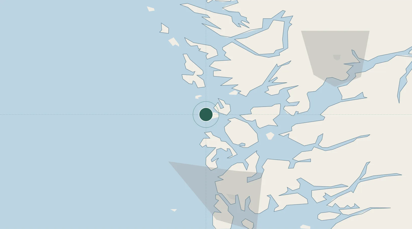
Nearby Logistics Neighbours

Cities
  1. 1Brandasund11 km
  2. 2Austevoll11 km
  3. 3Storebø12 km
  4. 4Torangsvåg13 km
  5. 5Hufthammar14 km
Nearest neighbours — logibook spatial index (haversine) over the source coordinates
Ports
  1. 1Leirvik34 km
  2. 2Mosterhamn37 km
  3. 3Haakonsvern38 km
  4. 4Husnes39 km
  5. 5Brattholmen39 km
Nearest neighbours — logibook spatial index (haversine) over the source coordinates
Airports
  1. 1Stord Airport, Sørstokken26 km
  2. 2Bergen Airport, Flesland33 km
  3. 3Haugesund Airport, Karmøy73 km
  4. 4Stavanger Airport, Sola128 km
  5. 5Førde Airport, Bringeland159 km
Nearest neighbours — logibook spatial index (haversine) over the source coordinates
Trade Zones
  1. 1Gothenburg Boundless Customs Warehouse462 km
  2. 2Freeport of Copenhagen- Nordhavn650 km
  3. 3MTS Malmö Transport and Spedition679 km
  4. 4North Eastern Enterprise Zone689 km
  5. 5Freeport of Kiel699 km
Nearest neighbours — logibook spatial index (haversine) over the source coordinates
DatabookThe Record of Consolidated Knowledge
Norway beyond logistics?
Browse databook

All Sources

LocationsUN/LOCODE
UN/LOCODE — free
Portsthe NGA World Port Index
Public domain (US gov)
AirportsOurAirports
Public domain
Trade Zonesthe World Bank SEZ database
CC BY 4.0
Trade ZonesOpen Zone Map
CC BY
← Norway locations