UN/LOCODE hub · Norway
NOBRN

Brandasund

59.9000°, 5.1000°
1
Transport functions

Transport Functions

Port
UN/LOCODE

Hub Profile

Region
12
GeoNames

Location

Location of NOBRN
Natural Earth 10m (public domain) · 12 · NOBRN · 59.90, 5.10GoogleOSMYandex

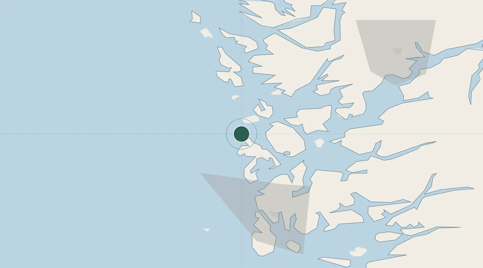
Nearby Logistics Neighbours

Cities
  1. 1Salthella11 km
  2. 2Fitjar12 km
  3. 3Bremnes14 km
  4. 4Rubbestadneset15 km
  5. 5Austevoll22 km
Nearest neighbours — logibook spatial index (haversine) over the source coordinates
Ports
  1. 1Leirvik27 km
  2. 2Mosterhamn28 km
  3. 3Husnes37 km
  4. 4Haakonsvern49 km
  5. 5Brattholmen50 km
Nearest neighbours — logibook spatial index (haversine) over the source coordinates
Airports
  1. 1Stord Airport, Sørstokken18 km
  2. 2Bergen Airport, Flesland44 km
  3. 3Haugesund Airport, Karmøy62 km
  4. 4Stavanger Airport, Sola118 km
  5. 5Førde Airport, Bringeland170 km
Nearest neighbours — logibook spatial index (haversine) over the source coordinates
Trade Zones
  1. 1Gothenburg Boundless Customs Warehouse457 km
  2. 2North Eastern Enterprise Zone680 km
  3. 3Freeport of Kiel690 km
  4. 4Tees Valley Enterprise Zone699 km
  5. 5Freeport of Cuxhaven (Freihafen Cuxhaven)707 km
Nearest neighbours — logibook spatial index (haversine) over the source coordinates
DatabookThe Record of Consolidated Knowledge
Norway beyond logistics?
Browse databook

All Sources

LocationsUN/LOCODE
UN/LOCODE — free
Portsthe NGA World Port Index
Public domain (US gov)
AirportsOurAirports
Public domain
Trade Zonesthe World Bank SEZ database
CC BY 4.0
Trade ZonesOpen Zone Map
CC BY
← Norway locations