Transport Functions
Port
Hub Profile
Place type
Provincial seat
Region
Vestland
Population
480
Time zone
Europe/Oslo
Elevation
3 m
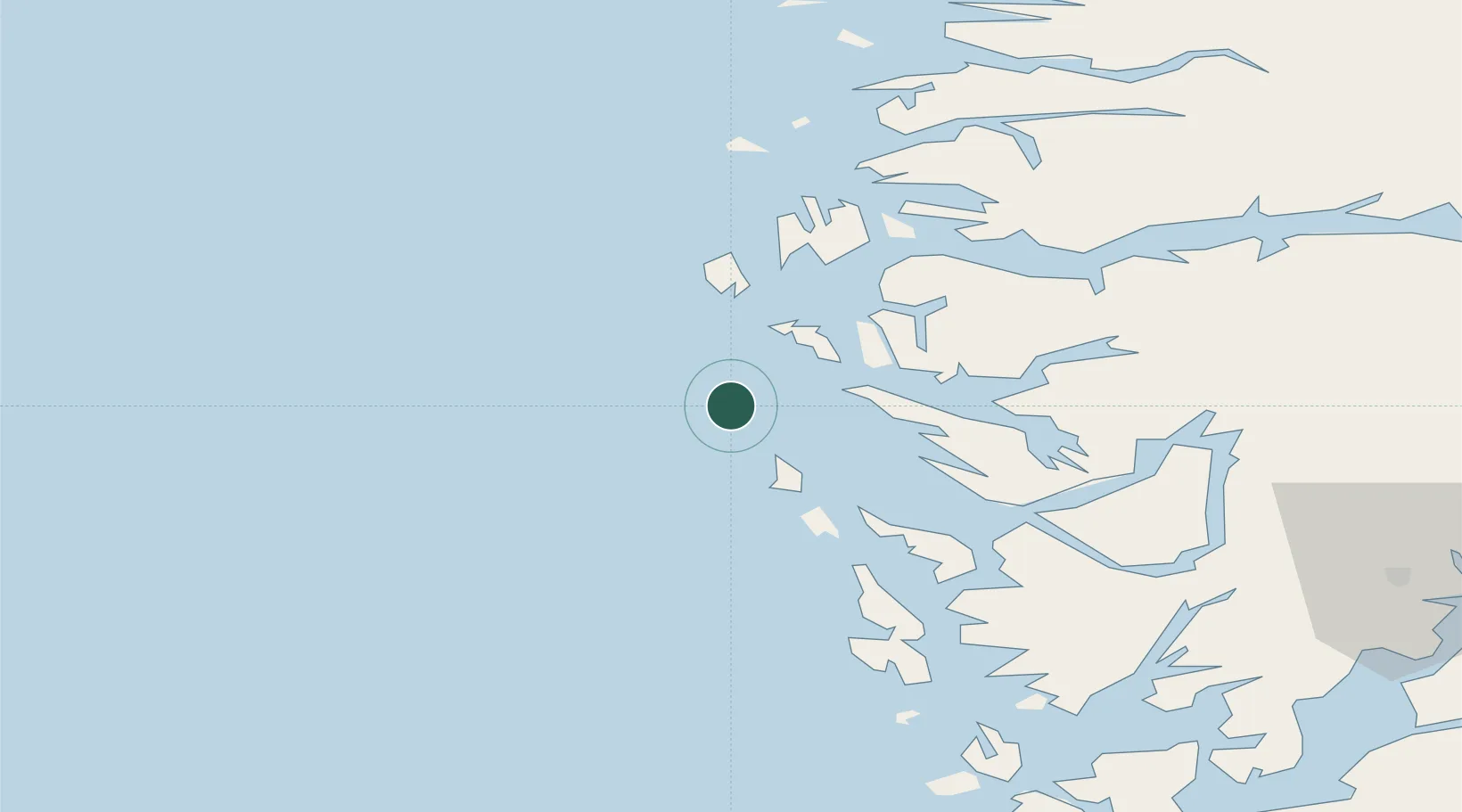
Location
Nearby Logistics Neighbours
Cities
- 1Bøvågen - Radøy14 km
- 2Fonnes16 km
- 3Byrknesøy17 km
- 4Mongstad18 km
- 5Stura19 km
Ports
- 1Stura18 km
- 2Mongstad20 km
- 3Bergen52 km
- 4Brattholmen53 km
- 5Haakonsvern56 km
Airports
- 1Bergen Airport, Flesland60 km
- 2Førde Airport, Bringeland90 km
- 3Florø Airport93 km
- 4Stord Airport, Sørstokken114 km
- 5Sogndal Airport, Haukåsen139 km
Trade Zones
DatabookThe Record of Consolidated Knowledge
Norway beyond logistics?