UN/LOCODE hub · Norway
NOBOV

Bøvågen - Radøy

60.7000°, 4.9167°
2
Transport functions

Transport Functions

Port
Road
UN/LOCODE

Hub Profile

Region
12
GeoNames

Location

Location of NOBOV
Natural Earth 10m (public domain) · 12 · NOBOV · 60.70, 4.92GoogleOSMYandex

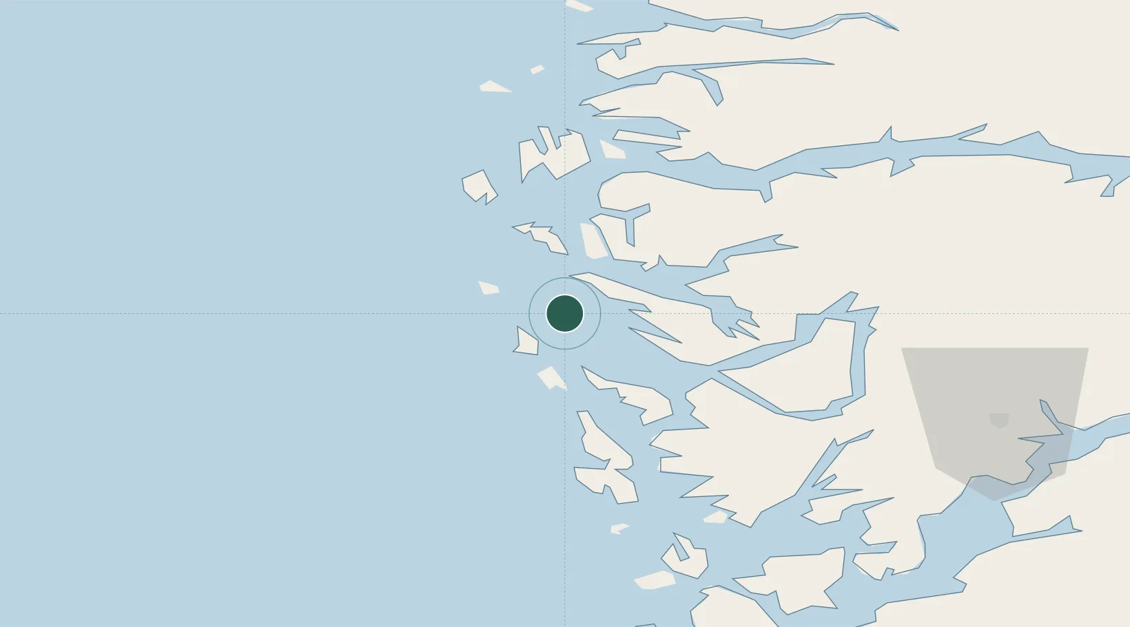
Nearby Logistics Neighbours

Cities
  1. 1Manger9 km
  2. 2Stura10 km
  3. 3Fonnes13 km
  4. 4Mongstadbase14 km
  5. 5Fedje14 km
Nearest neighbours — logibook spatial index (haversine) over the source coordinates
Ports
  1. 1Stura9 km
  2. 2Mongstad16 km
  3. 3Bergen39 km
  4. 4Brattholmen42 km
  5. 5Haakonsvern44 km
Nearest neighbours — logibook spatial index (haversine) over the source coordinates
Airports
  1. 1Bergen Airport, Flesland48 km
  2. 2Førde Airport, Bringeland89 km
  3. 3Florø Airport98 km
  4. 4Stord Airport, Sørstokken104 km
  5. 5Sogndal Airport, Haukåsen130 km
Nearest neighbours — logibook spatial index (haversine) over the source coordinates
Trade Zones
  1. 1Gothenburg Boundless Customs Warehouse514 km
  2. 2Freeport of Copenhagen- Nordhavn713 km
  3. 3MTS Malmö Transport and Spedition741 km
  4. 4North Eastern Enterprise Zone745 km
  5. 5Tees Valley Enterprise Zone769 km
Nearest neighbours — logibook spatial index (haversine) over the source coordinates
DatabookThe Record of Consolidated Knowledge
Norway beyond logistics?
Browse databook

All Sources

LocationsUN/LOCODE
UN/LOCODE — free
Portsthe NGA World Port Index
Public domain (US gov)
AirportsOurAirports
Public domain
Trade Zonesthe World Bank SEZ database
CC BY 4.0
Trade ZonesOpen Zone Map
CC BY
← Norway locations