UN/LOCODE hub · Norway
NOBYR

Byrknesøy

60.9000°, 4.8333°
1
Transport functions

Transport Functions

Port
UN/LOCODE

Hub Profile

Region
14
GeoNames

Location

Location of NOBYR
Natural Earth 10m (public domain) · 14 · NOBYR · 60.90, 4.83GoogleOSMYandex

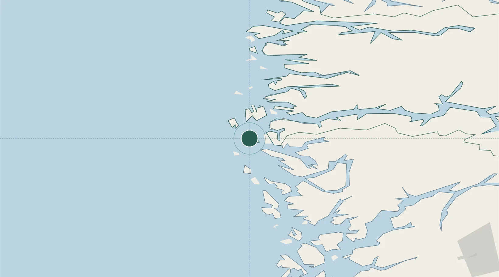
Nearby Logistics Neighbours

Cities
  1. 1Kollsnes Øst3 km
  2. 2Fonnes12 km
  3. 3Skipavik - Gulen12 km
  4. 4Mongstad14 km
  5. 5Sløvåg14 km
Nearest neighbours — logibook spatial index (haversine) over the source coordinates
Ports
  1. 1Mongstad13 km
  2. 2Stura31 km
  3. 3Bergen61 km
  4. 4Brattholmen64 km
  5. 5Haakonsvern67 km
Nearest neighbours — logibook spatial index (haversine) over the source coordinates
Airports
  1. 1Bergen Airport, Flesland71 km
  2. 2Førde Airport, Bringeland74 km
  3. 3Florø Airport77 km
  4. 4Sandane Airport, Anda124 km
  5. 5Stord Airport, Sørstokken126 km
Nearest neighbours — logibook spatial index (haversine) over the source coordinates
Trade Zones
  1. 1Gothenburg Boundless Customs Warehouse532 km
  2. 2Freeport of Copenhagen- Nordhavn733 km
  3. 3MTS Malmö Transport and Spedition761 km
  4. 4North Eastern Enterprise Zone761 km
  5. 5Tees Valley Enterprise Zone786 km
Nearest neighbours — logibook spatial index (haversine) over the source coordinates
DatabookThe Record of Consolidated Knowledge
Norway beyond logistics?
Browse databook

All Sources

LocationsUN/LOCODE
UN/LOCODE — free
Portsthe NGA World Port Index
Public domain (US gov)
AirportsOurAirports
Public domain
Trade Zonesthe World Bank SEZ database
CC BY 4.0
Trade ZonesOpen Zone Map
CC BY
← Norway locations