Transport Functions
Port
Road
Hub Profile
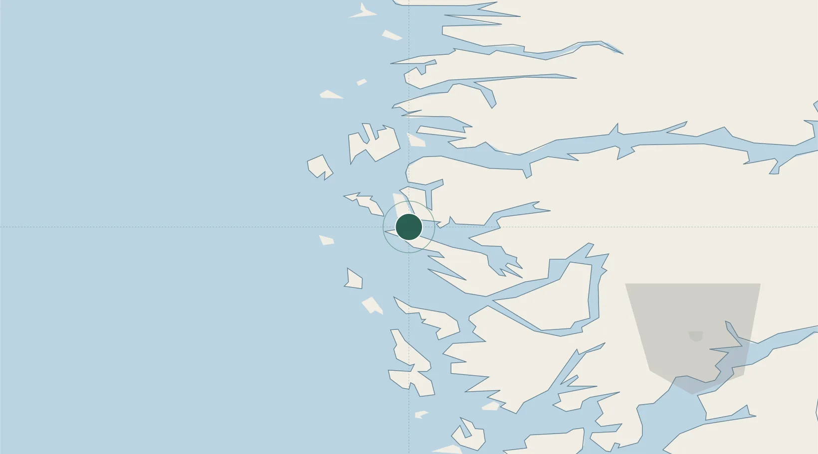
Place type
Populated place
Region
Vestland
Time zone
Europe/Oslo
Elevation
1 m
Location
Nearby Logistics Neighbours
Cities
- 1Fonnes3 km
- 2Mongstadbase3 km
- 3Skipavik - Gulen4 km
- 4Sløvåg5 km
- 5Kollsnes Øst13 km
Ports
- 1Stura23 km
- 2Bergen49 km
- 3Brattholmen53 km
- 4Vaksdal54 km
- 5Haakonsvern55 km
Airports
- 1Bergen Airport, Flesland59 km
- 2Førde Airport, Bringeland75 km
- 3Florø Airport85 km
- 4Stord Airport, Sørstokken115 km
- 5Sogndal Airport, Haukåsen121 km
Trade Zones
DatabookThe Record of Consolidated Knowledge
Norway beyond logistics?