Channel & Berth Profile
Pilotage, Tugs & Services
Pilotage compulsoryYES
Pilotage availableYES
Pilotage advisableYES
Tug assistanceYES
Salvage tugsNO
Potable waterYES
Diesel bunkersYES
Garbage disposalYES
Facilities & Capabilities
ContainerNO
Ro-RoYES
Liquid bulkYES
Dry bulkYES
Oil terminalNO
Break bulkYES
Dry dockNO
RepairsNO
BunkeringYES
Rail link—
Dangerous cargo—
ISPS security—
Harbour Specifications
Harbour size
Medium
Harbour type
Open Roadstead
Shelter
Good
Water body
North Sea; North Atlantic Ocean
Tidal range
7 m
Overhead limit
No
Pilotage
Yes
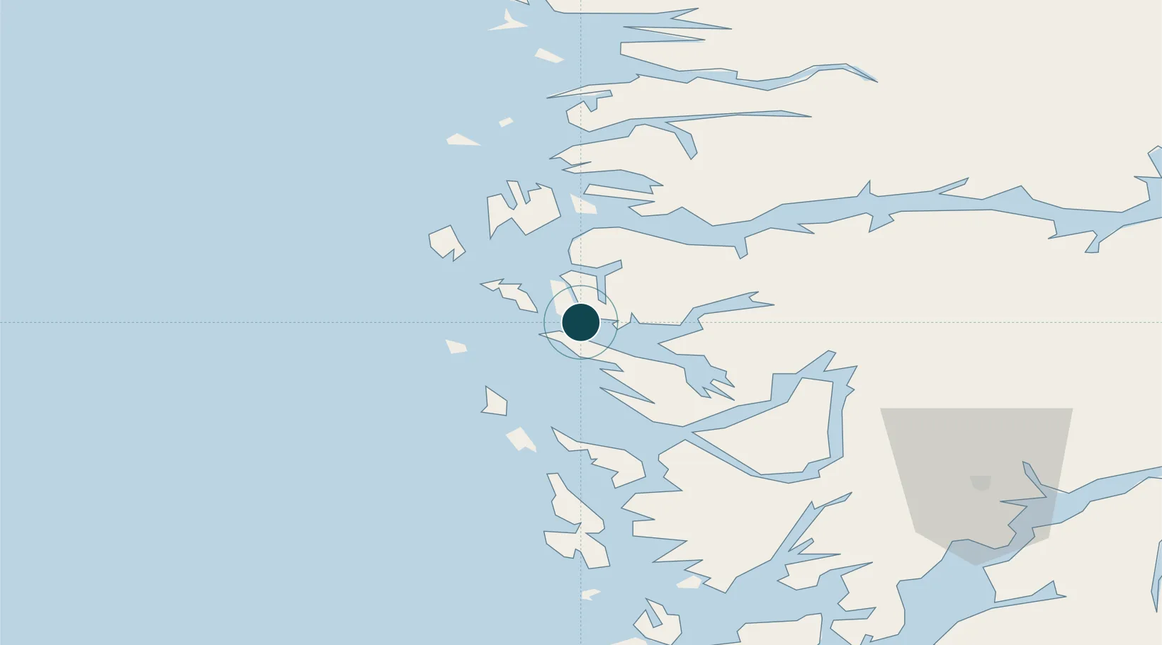
Location
Nearby Logistics Neighbours
Ports
- 1Stura25 km
- 2Bergen50 km
- 3Brattholmen54 km
- 4Vaksdal55 km
- 5Haakonsvern56 km
Cities
- 1Skipavik - Gulen2 km
- 2Sløvåg3 km
- 3Mongstadbase4 km
- 4Fonnes4 km
- 5Kollsnes Øst13 km
Airports
- 1Bergen Airport, Flesland61 km
- 2Førde Airport, Bringeland73 km
- 3Florø Airport84 km
- 4Stord Airport, Sørstokken117 km
- 5Sogndal Airport, Haukåsen119 km
Trade Zones
DatabookThe Record of Consolidated Knowledge
Norway beyond logistics?