Transport Functions
Port
Hub Profile
Place type
Populated place
Region
Vestland
Time zone
Europe/Oslo
Elevation
20 m
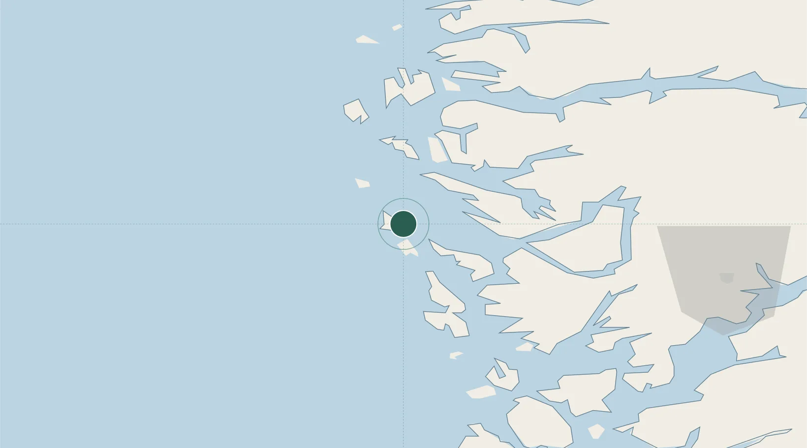
Location
Nearby Logistics Neighbours
Cities
- 1Kollsnes6 km
- 2Manger8 km
- 3Blomvåg9 km
- 4Bøvågen - Radøy10 km
- 5Mjølkevikvarden10 km
Ports
- 1Mongstad26 km
- 2Bergen34 km
- 3Brattholmen34 km
- 4Haakonsvern37 km
- 5Vaksdal50 km
Airports
- 1Bergen Airport, Flesland41 km
- 2Stord Airport, Sørstokken95 km
- 3Førde Airport, Bringeland99 km
- 4Florø Airport108 km
- 5Sogndal Airport, Haukåsen137 km
Trade Zones
DatabookThe Record of Consolidated Knowledge
Norway beyond logistics?