Seaport · Norway
BergenNOBGO
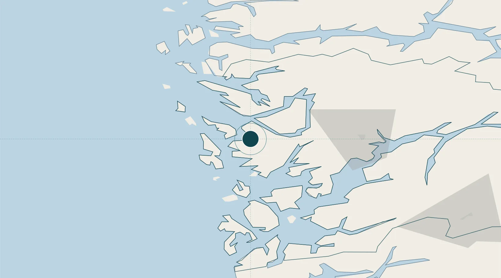
60.4028°, 5.2986°
23.2 m
Channel depth
1
Container terminals
71.3
Port liner connectivity
Channel & Berth Profile
Pilotage, Tugs & Services
Pilotage compulsoryYES
Pilotage availableYES
Pilotage advisableYES
Tug assistanceYES
Shore powerYES
Potable waterYES
Diesel bunkersYES
MedicalYES
Garbage disposalNO
Facilities & Capabilities
ContainerYES
Ro-RoYES
Liquid bulkYES
Dry bulkYES
Oil terminalNO
Break bulkYES
Dry dockNO
RepairsNO
BunkeringYES
Rail linkYES
Dangerous cargo—
ISPS security—
Harbour Specifications
Harbour size
Medium
Harbour type
Coastal (Natural)
Shelter
Excellent
Water body
North Sea; North Atlantic Ocean
Tidal range
1 m
Overhead limit
Yes
Pilotage
Yes
Liner Connectivity
71.3
PLSCI
Port Liner Shipping Connectivity Index for Bergen, as published by UNCTAD for the latest available quarter. Higher values indicate stronger scheduled liner-shipping integration.
Shown relative to the highest per-port PLSCI in the dataset (1,657.9).
Location
Container Terminals · 1
BERGEN DOKKEN VEST
BDV GREENPORT SERVICES AS / WESTPORT BERGEN AS
Nearby Logistics Neighbours
Ports
- 1Haakonsvern9 km
- 2Brattholmen9 km
- 3Vaksdal25 km
- 4Stura34 km
- 5Norheimsund47 km
Cities
- 1Hegreneset2 km
- 2Laksevåg2 km
- 3Florvåg4 km
- 4Kleppestø4 km
- 5Skålevik4 km
Airports
- 1Bergen Airport, Flesland13 km
- 2Stord Airport, Sørstokken68 km
- 3Førde Airport, Bringeland113 km
- 4Haugesund Airport, Karmøy118 km
- 5Sogndal Airport, Haukåsen130 km
Trade Zones
DatabookThe Record of Consolidated Knowledge
Norway beyond logistics?