UN/LOCODE hub · Norway
NOFNN

Fonnes

60.8167°, 4.9667°
1
Transport functions

Transport Functions

Port
UN/LOCODE

Hub Profile

Place type
Locality
GeoNames
Region
Vestland
GeoNames
Time zone
Europe/Oslo
GeoNames
Elevation
20 m
GeoNames

Location

Location of NOFNN
Natural Earth 10m (public domain) · Vestland · NOFNN · 60.82, 4.97GoogleOSMYandex

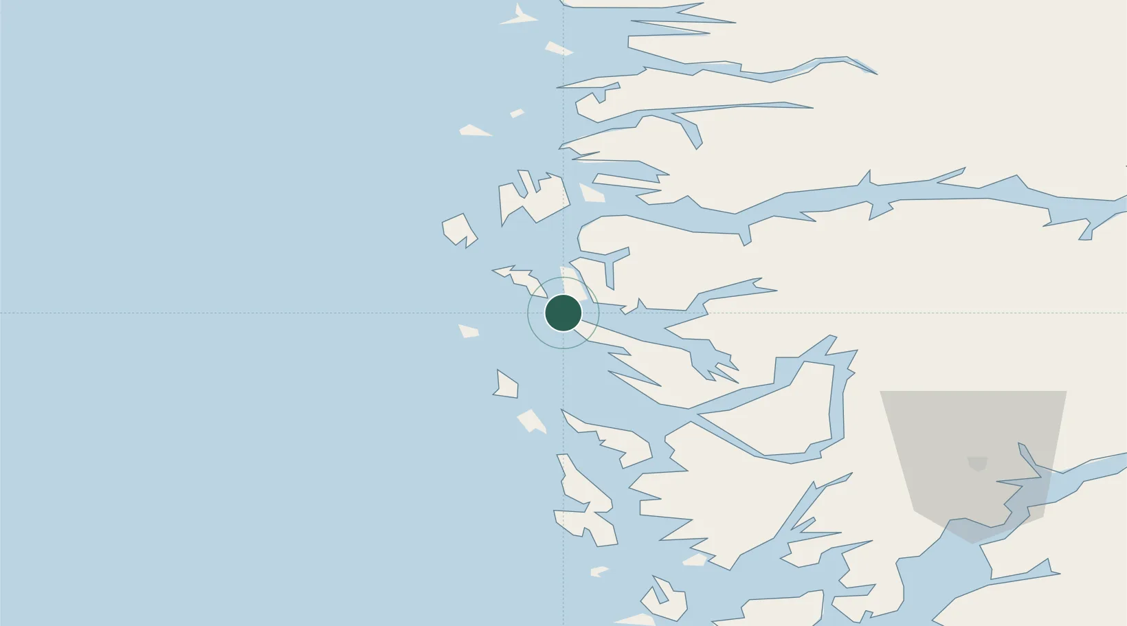
Nearby Logistics Neighbours

Cities
  1. 1Mongstad3 km
  2. 2Skipavik - Gulen5 km
  3. 3Mongstadbase6 km
  4. 4Sløvåg7 km
  5. 5Byrknesøy12 km
Nearest neighbours — logibook spatial index (haversine) over the source coordinates
Ports
  1. 1Mongstad4 km
  2. 2Stura22 km
  3. 3Bergen50 km
  4. 4Brattholmen53 km
  5. 5Haakonsvern56 km
Nearest neighbours — logibook spatial index (haversine) over the source coordinates
Airports
  1. 1Bergen Airport, Flesland60 km
  2. 2Førde Airport, Bringeland77 km
  3. 3Florø Airport85 km
  4. 4Stord Airport, Sørstokken116 km
  5. 5Sogndal Airport, Haukåsen123 km
Nearest neighbours — logibook spatial index (haversine) over the source coordinates
Trade Zones
  1. 1Gothenburg Boundless Customs Warehouse520 km
  2. 2Freeport of Copenhagen- Nordhavn721 km
  3. 3MTS Malmö Transport and Spedition749 km
  4. 4North Eastern Enterprise Zone757 km
  5. 5Tees Valley Enterprise Zone781 km
Nearest neighbours — logibook spatial index (haversine) over the source coordinates
DatabookThe Record of Consolidated Knowledge
Norway beyond logistics?
Browse databook

All Sources

LocationsUN/LOCODE
UN/LOCODE — free
Portsthe NGA World Port Index
Public domain (US gov)
AirportsOurAirports
Public domain
Trade Zonesthe World Bank SEZ database
CC BY 4.0
Trade ZonesOpen Zone Map
CC BY
← Norway locations