UN/LOCODE hub · Norway
NOBVN

Buviken

62.1333°, 11.7167°
2
Transport functions

Transport Functions

Road
Multimodal
UN/LOCODE

Hub Profile

Region
04
GeoNames

Location

Location of NOBVN
Natural Earth 10m (public domain) · 04 · NOBVN · 62.13, 11.72GoogleOSMYandex

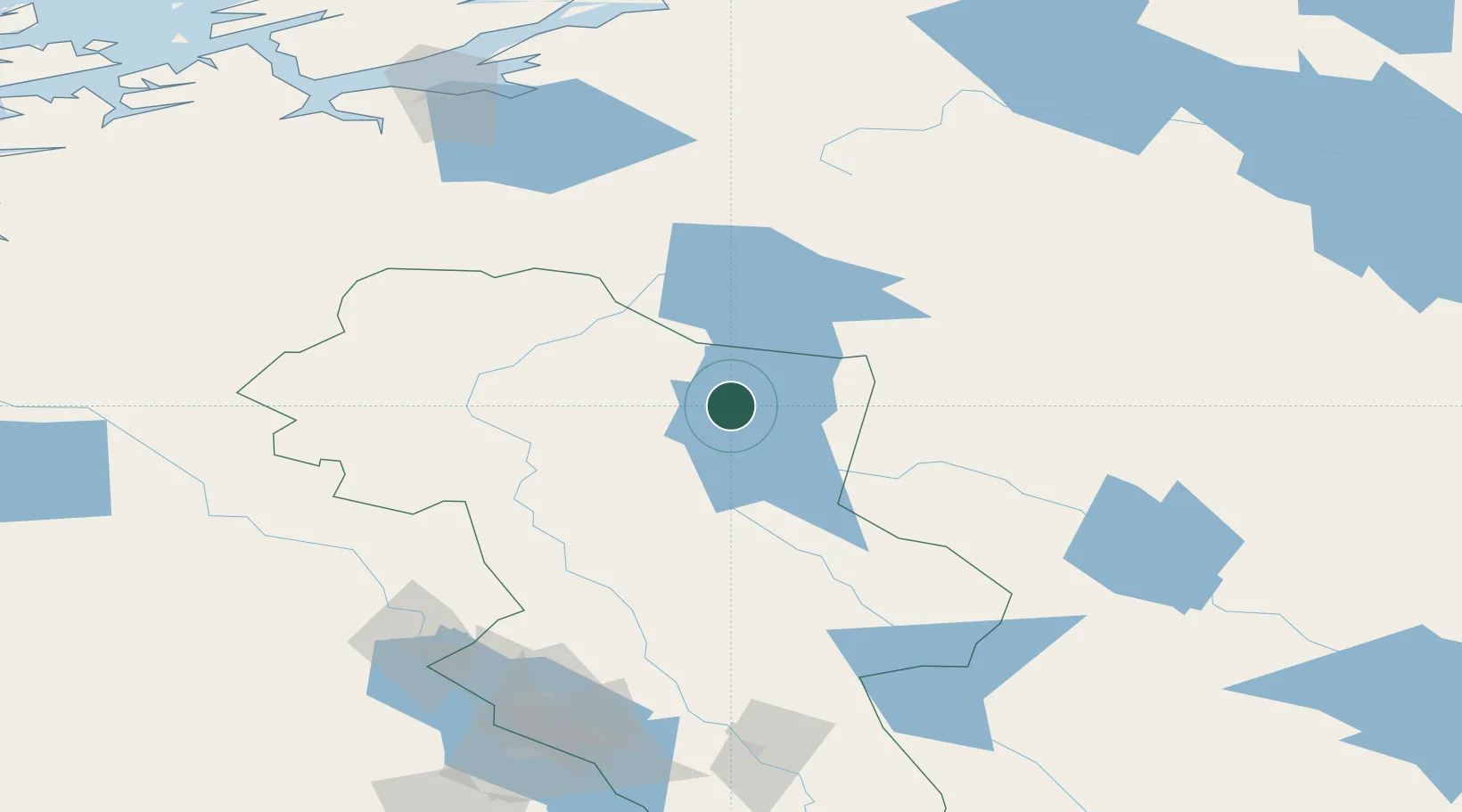
Nearby Logistics Neighbours

Cities
  1. 1Buvika1 km
  2. 2Hanestad51 km
  3. 3Vinstra119 km
  4. 4Ånn138 km
  5. 5Kopperå141 km
Nearest neighbours — logibook spatial index (haversine) over the source coordinates
Ports
  1. 1Hommelvik150 km
  2. 2Muruvik152 km
  3. 3Trondheim161 km
  4. 4Langstein163 km
  5. 5Sunndalsora174 km
Nearest neighbours — logibook spatial index (haversine) over the source coordinates
Airports
  1. 1Røros Airport53 km
  2. 2Scandinavian Mountains Airport123 km
  3. 3Sveg Airport141 km
  4. 4Trondheim Airport, Værnes153 km
  5. 5Åre Östersund Airport185 km
Nearest neighbours — logibook spatial index (haversine) over the source coordinates
Trade Zones
  1. 1Stockholm Free Zone465 km
  2. 2Gothenburg Boundless Customs Warehouse492 km
  3. 3Jönköping Free Zone503 km
  4. 4Freeport of Copenhagen- Nordhavn716 km
  5. 5MTS Malmö Transport and Spedition730 km
Nearest neighbours — logibook spatial index (haversine) over the source coordinates
DatabookThe Record of Consolidated Knowledge
Norway beyond logistics?
Browse databook

All Sources

LocationsUN/LOCODE
UN/LOCODE — free
Portsthe NGA World Port Index
Public domain (US gov)
AirportsOurAirports
Public domain
Trade Zonesthe World Bank SEZ database
CC BY 4.0
Trade ZonesOpen Zone Map
CC BY
← Norway locations