Transport Functions
Port
Road
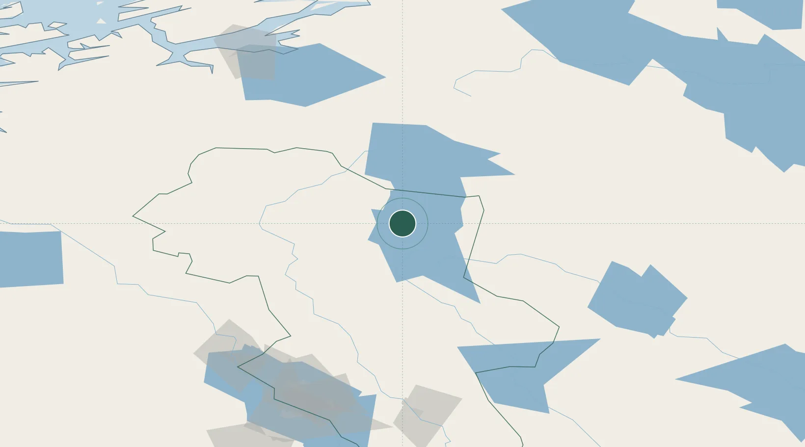
Hub Profile
Place type
Populated place
Region
Innlandet
Time zone
Europe/Oslo
Elevation
662 m
Location
Nearby Logistics Neighbours
Ports
- 1Hommelvik150 km
- 2Muruvik152 km
- 3Trondheim160 km
- 4Langstein163 km
- 5Sunndalsora173 km
Airports
- 1Røros Airport53 km
- 2Scandinavian Mountains Airport123 km
- 3Sveg Airport142 km
- 4Trondheim Airport, Værnes153 km
- 5Åre Östersund Airport185 km
Trade Zones
DatabookThe Record of Consolidated Knowledge
Norway beyond logistics?