Transport Functions
Rail
Road
Hub Profile
Place type
Populated place
Region
Innlandet
Time zone
Europe/Oslo
Elevation
395 m
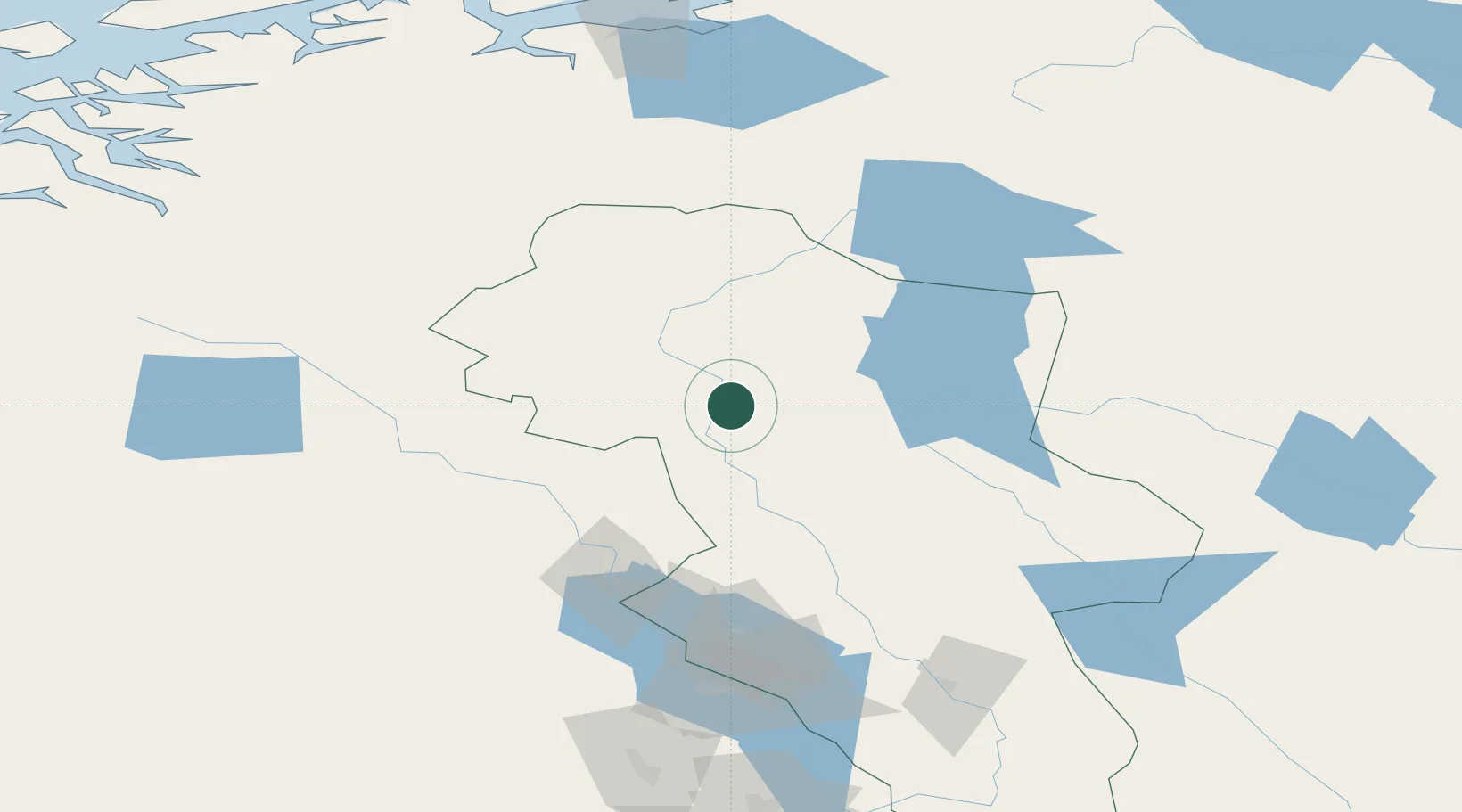
Location
Nearby Logistics Neighbours
Cities
- 1Buvika51 km
- 2Buviken51 km
- 3Vinstra68 km
- 4Brumunddal111 km
- 5Løten119 km
Ports
- 1Sunndalsora152 km
- 2Hommelvik173 km
- 3Muruvik175 km
- 4Trondheim178 km
- 5Langstein187 km
Airports
- 1Røros Airport82 km
- 2Scandinavian Mountains Airport128 km
- 3Trondheim Airport, Værnes177 km
- 4Oslo-Gardermoen International Airport186 km
- 5Ørland Airport214 km
Trade Zones
DatabookThe Record of Consolidated Knowledge
Norway beyond logistics?