Transport Functions
Rail
Road
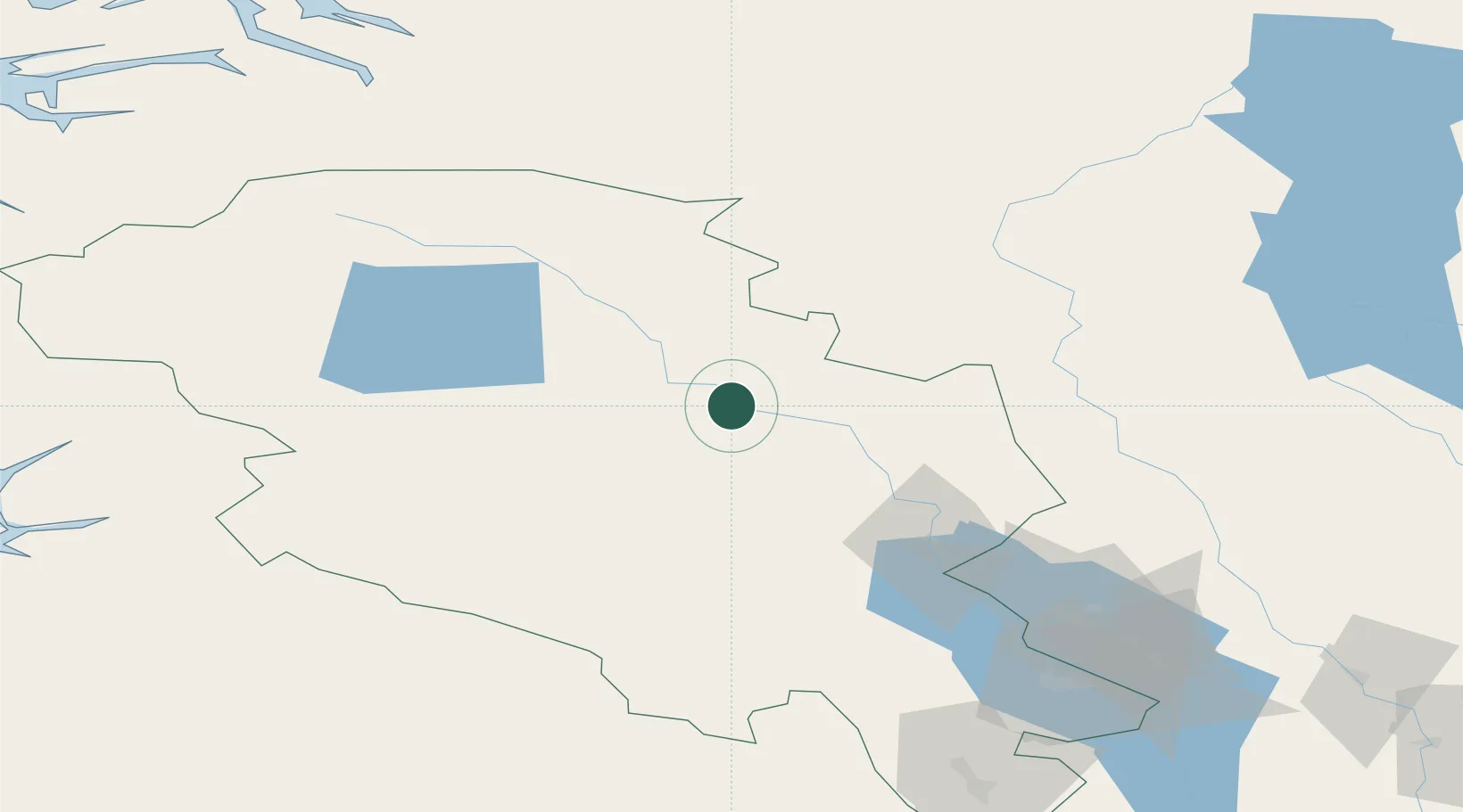
Hub Profile
Place type
Provincial seat
Region
Innlandet
Population
2,678
Time zone
Europe/Oslo
Elevation
400 m
Location
Nearby Logistics Neighbours
Cities
- 1Hanestad68 km
- 2Dokka87 km
- 3Brumunddal103 km
- 4Skjolden116 km
- 5Årdalstangen116 km
Ports
- 1Ardalstangen117 km
- 2Sunndalsora136 km
- 3Andalsnes152 km
- 4Molde184 km
- 5Oslo197 km
Airports
- 1Røros Airport137 km
- 2Sogndal Airport, Haukåsen148 km
- 3Oslo-Gardermoen International Airport173 km
- 4Molde Airport, Årø181 km
- 5Sandane Airport, Anda194 km
Trade Zones
DatabookThe Record of Consolidated Knowledge
Norway beyond logistics?