Large airport · Sweden

Scandinavian Mountains AirportESKS
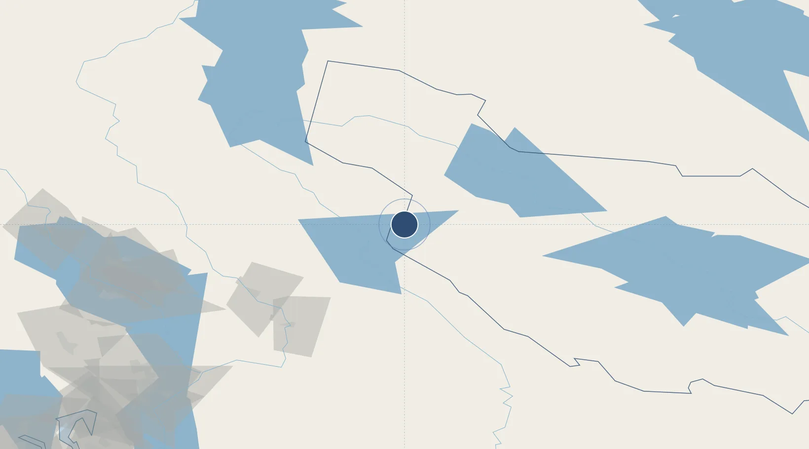
61.1651°, 12.8335°
8,202 ft
Longest runway
1
Runways
1,608 ft
Elevation

Runway & Layout

Scandinavian Mountains Airport runway & taxiway layout
Runway & taxiway layout — OpenStreetMap (ODbL) / OurAirports

Runways · 1

RunwayDimensions SurfaceTrue headingLit
15/33 8,202 × 148ft Asphalt
OurAirports

Airport Specifications

IATA code
SCR
OurAirports
ICAO code
ESKS
OurAirports
Airport class
Large airport
OurAirports
Scheduled service
Yes
OurAirports
Runway surface
Asphalt
OurAirports
Served city
Malung-Sälen
OurAirports

Location

Location of ESKS
Natural Earth 10m (public domain) · Dalarna · ESKS · 61.17, 12.83GoogleOSMYandex

Nearby Logistics Neighbours

Airports
  1. 1Mora Airport93 km
  2. 2Torsby Airport112 km
  3. 3Sveg Airport129 km
  4. 4Hagfors Airport134 km
  5. 5Oslo-Gardermoen International Airport143 km
Nearest neighbours — logibook spatial index (haversine) over the source coordinates
Cities
  1. 1Transtrand28 km
  2. 2Karlstad65 km
  3. 3Flisa75 km
  4. 4Våler77 km
  5. 5Siggerud83 km
Nearest neighbours — logibook spatial index (haversine) over the source coordinates
Ports
  1. 1Oslo181 km
  2. 2Fagerstrand201 km
  3. 3Drobak207 km
  4. 4Drammen213 km
  5. 5Svelvik217 km
Nearest neighbours — logibook spatial index (haversine) over the source coordinates
Trade Zones
  1. 1Stockholm Free Zone354 km
  2. 2Jönköping Free Zone385 km
  3. 3Gothenburg Boundless Customs Warehouse389 km
  4. 4Freeport of Copenhagen- Nordhavn606 km
  5. 5MTS Malmö Transport and Spedition618 km
Nearest neighbours — logibook spatial index (haversine) over the source coordinates
DatabookThe Record of Consolidated Knowledge
Sweden beyond logistics?
Browse databook

All Sources

AirportsOurAirports
Public domain
Portsthe NGA World Port Index
Public domain (US gov)
LocationsUN/LOCODE
UN/LOCODE — free
Trade Zonesthe World Bank SEZ database
CC BY 4.0
Trade ZonesOpen Zone Map
CC BY
InfrastructureOpenStreetMap
ODbL 1.0
← Sweden airports