Transport Functions
Port
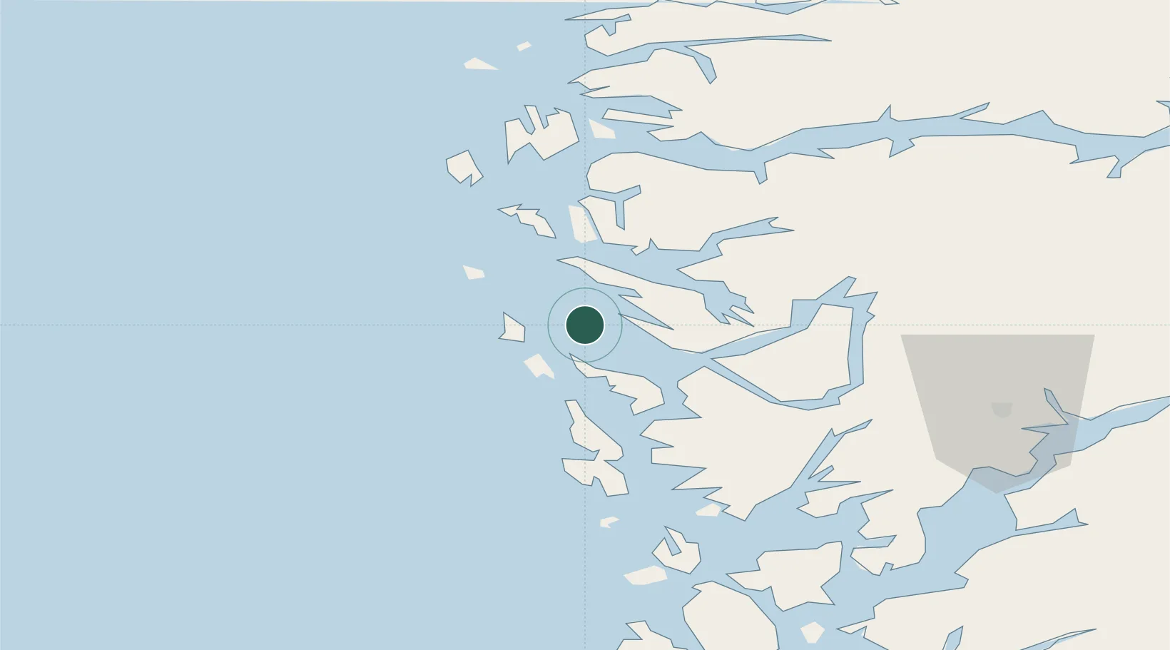
Hub Profile
Place type
Provincial seat
Region
Vestland
Population
814
Time zone
Europe/Oslo
Elevation
20 m
Location
Nearby Logistics Neighbours
Cities
- 1Stura8 km
- 2Bøvågen - Radøy9 km
- 3Mjølkevikvarden9 km
- 4Kollsnes13 km
- 5Blomvåg13 km
Ports
- 1Stura8 km
- 2Mongstad22 km
- 3Bergen30 km
- 4Brattholmen33 km
- 5Haakonsvern36 km
Airports
- 1Bergen Airport, Flesland40 km
- 2Førde Airport, Bringeland94 km
- 3Stord Airport, Sørstokken95 km
- 4Florø Airport106 km
- 5Sogndal Airport, Haukåsen129 km
Trade Zones
DatabookThe Record of Consolidated Knowledge
Norway beyond logistics?